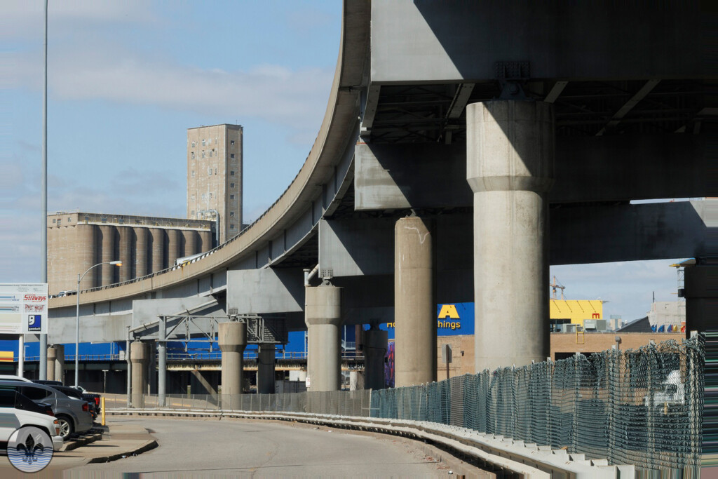
Photo Flood 21 Photo Flood 123
Tag Archive for: Missouri
Photo Flood 122: Midtown

Photographer Joe Rakers Midtown has been the focus of two previous floods, Photo Flood 35 in June 2015 and Photo Flood 49 in August 2016. In the 7 years since the last visit much has changed. With the addition of IKEA in the adjacent Central West End neighborhood the area has...
Photo Flood 118: Forest Park

Photo by Ingrid Borecki Our visit to Forest Park was the third time for Photo Flood STL. It was the subject of floods 5 and 15, last visited in October 2013. One of the top attractions in the city of St. Louis it is just as much an icon...
Lafayette Square
Lafayette Square is an historic Victorian neighborhood in the City of St. Louis, Missouri. Photo Flood 10 Photo Flood 116 The neighborhood boundaries are: North: Chouteau Ave South: I-44 East: Dolman St West: Jefferson Ave
Mini-Flood 82: St Charles Rock Road

photo by Valerie Rippey St Charles Rock Road is a major thoroughfare in northwest St. Louis County, and many relics of its long and glorious history are still visible. Before we explore, here’s a little historical background… St Charles Rock Road was the first road to traverse St. Louis...
Photo Flood 94: Hermann

photo by RJ Wilner Hermann, Missouri is a quaint river town, located about 80 miles west of St. Louis. In the mid-1800’s, amid a flood of German immigrants to the region, the town became an epicenter for the New Rhineland, a place where German culture and language could be...
Mini-Flood 81: Historic Route 66

photo by Joe Rakers Route 66 was immortalized by John Steinbeck who called it “the mother road” in The Grapes of Wrath. It inspired a hit song (“Get your kicks on Route 66”) and a TV show (“Route 66”). The Phillips 66 Company is named after Route 66, where...
Mini-Flood 79: Natural Bridge

photo by Sue Rakers Natural Bridge Road – so named because it once utilized a natural limestone bridge to cross over Rocky Branch Creek in the city – is one of the original (1840’s) major thoroughfares of north St. Louis, starting deep in the city and making a nearly...
Mini-Flood 78: North Kingshighway

photo by Dave Adams The purpose of this walk was to explore the 1.3-mile section of the Kingshighway thoroughfare that stretches from Interstate 64 to Delmar Blvd, i.e., the section of Kingshighway that traverses the Central West End (CWE). But if you think that means this is a homogeneous...
Mini-Flood 77: South Broadway

photo by Ingrid Borecki On most of our street walks we have seen the results of a boom-to-bust-to-boom cycle. In the case of South Broadway through the Patch and Carondelet neighborhoods in the far south end of the city, we are still waiting for the rebound. One major factor was...