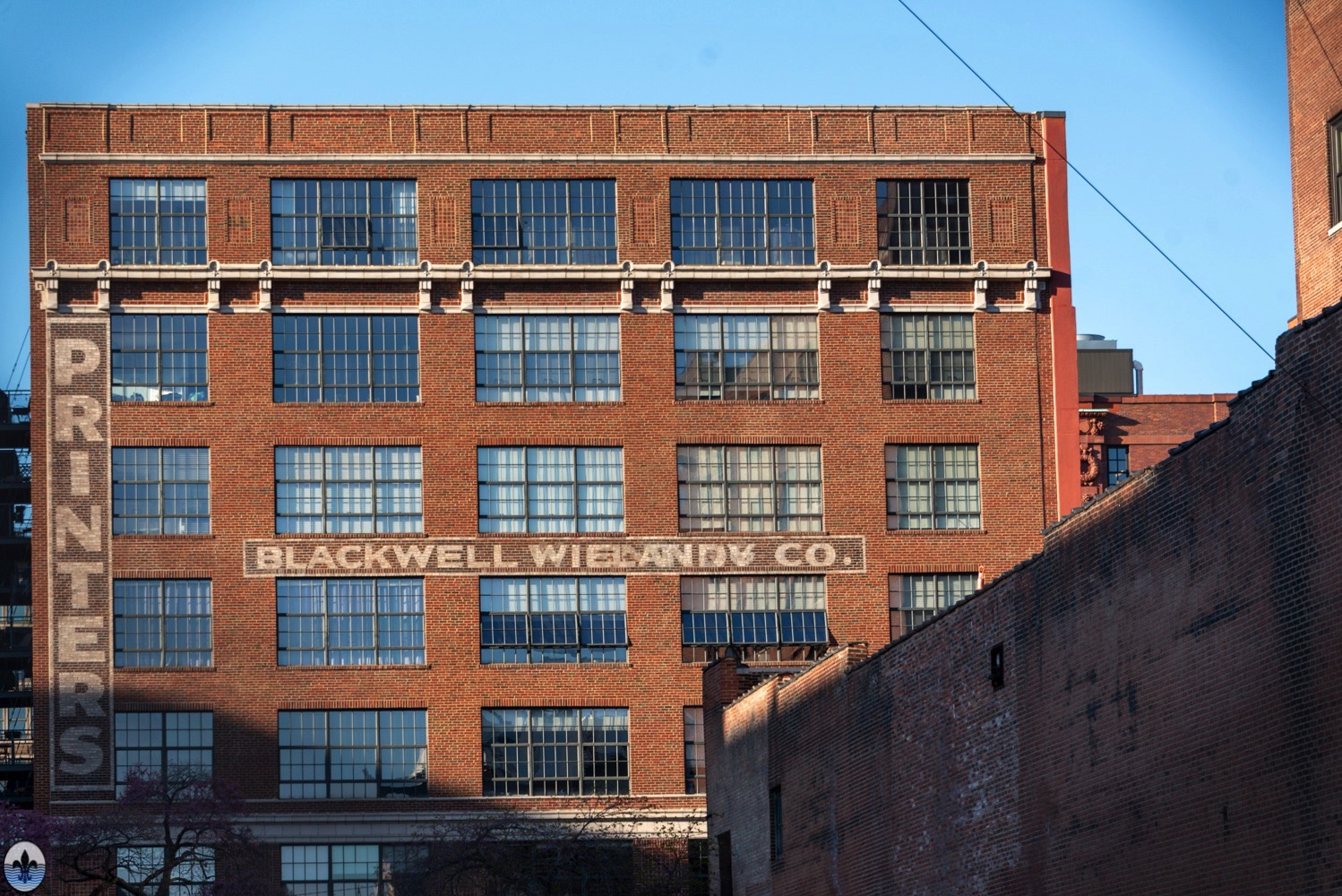
Photograph by Joe Rakers The neighborhood of Clifton Heights was first visited by Photo Flood STL nine years ago in July 2015. Clifton Heights is located in southwest St. Louis. Surrounding neighborhoods are the Hill, Ellendale, Dogtown, and Lindenwood Park. The article for the first visit is http://www.photofloodstl.org/photo-flood-36-clifton-heights/ Photograph by...
Tag Archive for: St. Louis
Photo Flood 131: Covenant Blu/Grand Center
photo by Maureen Minich Covenant Blu/Grand Center is St. Louis’ self-described Theatre and Arts District. Home to The Fabulous Fox, the St. Louis Symphony, The Pulitzer Foundation, and Contemporary Art Museum St. Louis (among others), there is always a lot going on in this neighborhood. We last flooded the...
Photo Flood 130: Tower Grove East
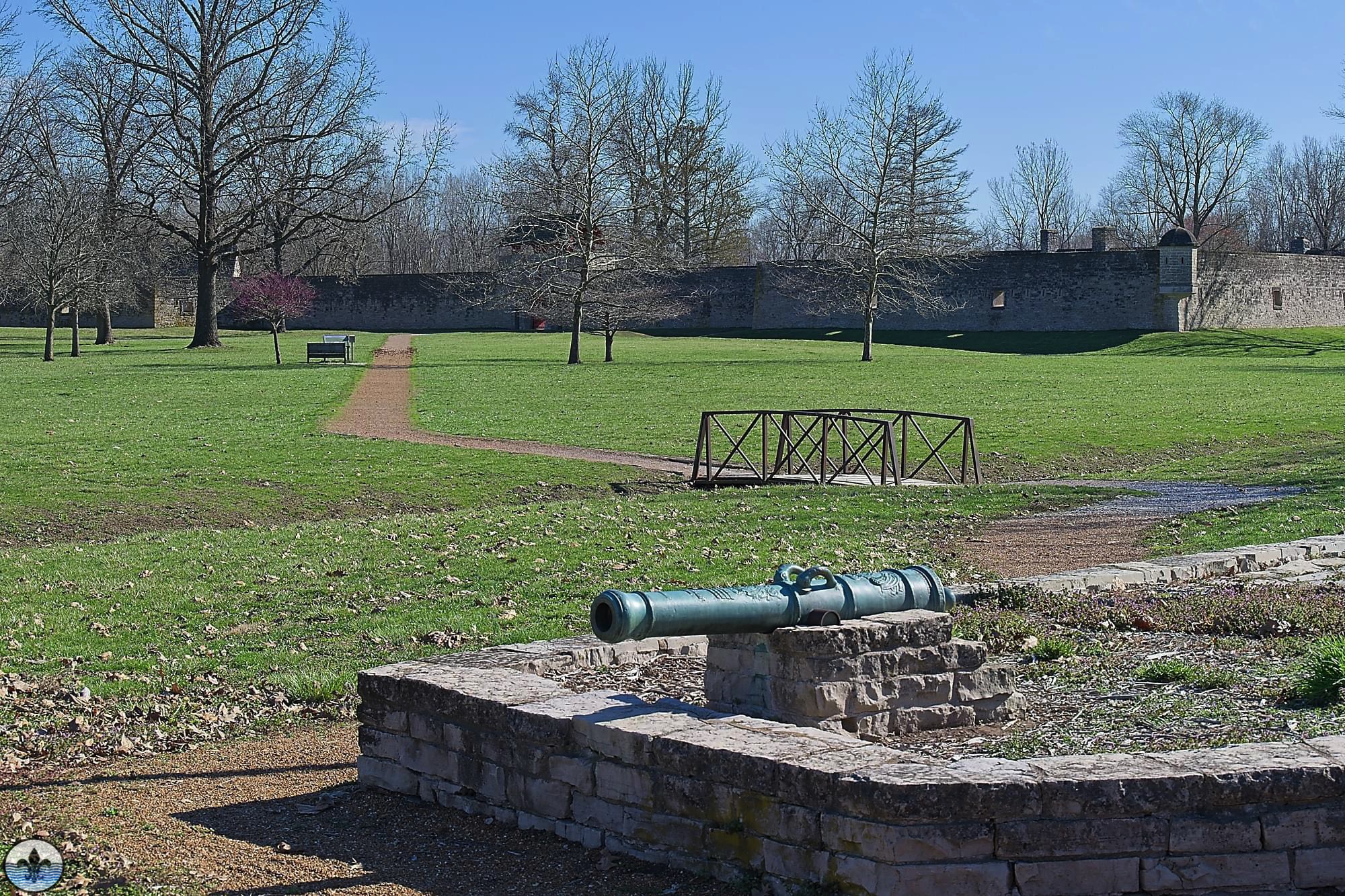
photo by Lina Walz-Salvador A lot has changed since the last Photo Flood in Tower Grove East (over ten years ago). What exists, however, is a vibrant neighborhood, full of families and small businesses–all folded into one of the city’s more picturesque built environments. photo by Mike Matney
Mini-Flood 88: Old Chain of Rocks Bridge
photo by Mark McKeown Among the more interesting and storied of St. Louis bridges, Old Chain of Rocks Bridge, with its characteristic 30-degree curve in the middle, was the entryway for Route 66 into Missouri. Today, this pedestrian-only bridge offers sweeping views of the Mississippi River, while at its...
Photo Flood 128: Downtown West
photo by Joe Harrison Some will argue that Downtown West is more “Downtown” than Downtown, and they definitely have some good reasons why that may be, including that it is one of the fastest growing neighborhoods in St. Louis. In fact, a lot has changed since even our last...
Photo Flood 127: The Patch
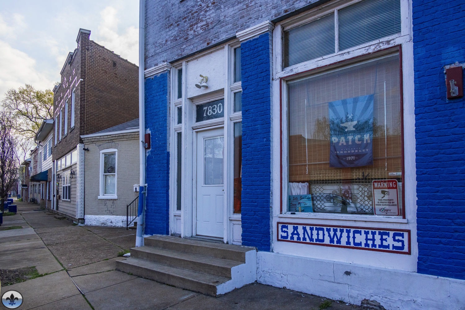
photo by Diana Linsley In the very southern tip of the City of St. Louis, lays a neighborhood that many from the region either overlook or don’t even know exists. Unfortunate circumstances for a neighborhood that was central to so much river industry for many years, including St. Louis’...
Mini-Flood 87: Fort de Chartres State Historic Site
photo by Mark McKeown Site of the original French Colonial fort and later occupied by the British, Fort de Chartres is today a faithful recreation of what European life in the Mississippi Valley was really like. photo by Sue Rakers
Mini-Flood 86: August A. Busch Memorial Conservation Area
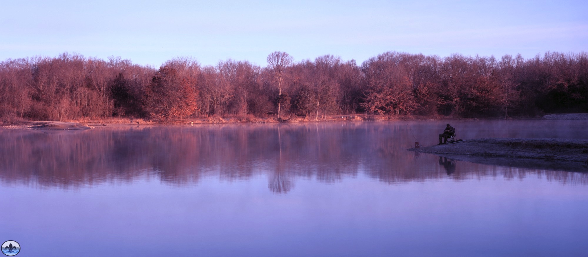
photo by Jim Harter August A. Busch Memorial Conservation Area is a nearly 7,000-acre wildlife and recreation area that includes more than two dozen lakes/ponds, a firearm and archery range, miles of hiking trails and more. During World War II, some of the area was used by the military...
St. Louis Hills
The St. Louis Hills neighborhood is bounded by Chippewa Street to the northwest and north, Hampton Avenue to the east, Gravois Avenue to the southeast, and the city limits to the southwest. Photo Flood 25 Photo Flood 124
Mini-Flood 85: Paint Louis
Photo by Mike Matney As a celebration of graffiti art and hip-hop, Paint Louis is an annual event along the floodwall just south of the Gateway Arch. It is free and open to the public. With its humble beginnings of local artists wanting a space to express themselves, it...