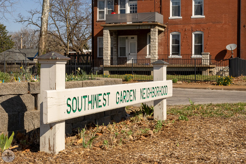
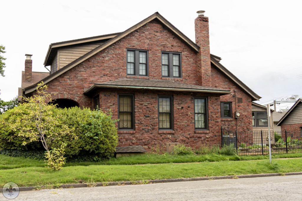
Tag Archive for: Photo Flood Saint Louis

Photo Flood 130: Tower Grove East

Photo Flood 130: Tower Grove East

photo by Lina Walz-Salvador A lot has changed since the last Photo Flood in Tower Grove East (over ten years ago). What exists, however, is a vibrant neighborhood, full of families and small businesses–all folded into one of the city’s more picturesque built environments. photo by Mike Matney

Continue reading

Mini-Flood 89: Illinois Caverns State Natural Area

Mini-Flood 89: Illinois Caverns State Natural Area

photo by Lina Walz-Salvador Illinois Caverns State Natural Area, formerly Burksville Cave, Mammoth Cave of Illinois, Egyptian Cave and Eckert’s Cave, is the largest cave in Illinois open for public tours. This showstopper was originally thought to be larger than Mammoth Cave in Kentucky and features a variety of...

Continue reading

Photo Flood 129: Clayton

Photo Flood 129: Clayton

  photo by Caren Libby Lincoln had Douglas. Stalin had Trotsky. Schwarzenegger had Stallone. There have been a lot of great rivalries throughout history, but perhaps most important among them is the rivalry for which every St. Louisan (and adjacent) must choose a side: St. Louis City vs. St....

Continue reading

Mini-Flood 88: Old Chain of Rocks Bridge

Mini-Flood 88: Old Chain of Rocks Bridge

photo by Mark McKeown Among the more interesting and storied of St. Louis bridges, Old Chain of Rocks Bridge, with its characteristic 30-degree curve in the middle, was the entryway for Route 66 into Missouri. Today, this pedestrian-only bridge offers sweeping views of the Mississippi River, while at its...

Continue reading

Photo Flood 128: Downtown West

Photo Flood 128: Downtown West

photo by Joe Harrison Some will argue that Downtown West is more “Downtown” than Downtown, and they definitely have some good reasons why that may be, including that it is one of the fastest growing neighborhoods in St. Louis. In fact, a lot has changed since even our last...

Continue reading

Photo Flood 127: The Patch

Photo Flood 127: The Patch

photo by Diana Linsley In the very southern tip of the City of St. Louis, lays a neighborhood that many from the region either overlook or don’t even know exists. Unfortunate circumstances for a neighborhood that was central to so much river industry for many years, including St. Louis’...

Continue reading

Mini-Flood 87: Fort de Chartres State Historic Site

Mini-Flood 87: Fort de Chartres State Historic Site

photo by Mark McKeown Site of the original French Colonial fort and later occupied by the British, Fort de Chartres is today a faithful recreation of what European life in the Mississippi Valley was really like. photo by Sue Rakers

Continue reading

Photo Flood 126: Collinsville

Photo Flood 126: Collinsville

Photographer Mike Matney Home to the world’s largest ketchup bottle, Collinsville straddles Madison and St. Clair counties in Illinois; Belleville lies to the south, Edwardsville to the north, and is only 15 miles from downtown St. Louis. The city has a population of 24,366 according to the last census....

Continue reading

Mini-Flood 86: August A. Busch Memorial Conservation Area

Mini-Flood 86: August A. Busch Memorial Conservation Area

photo by Jim Harter August A. Busch Memorial Conservation Area is a nearly 7,000-acre wildlife and recreation area that includes more than two dozen lakes/ponds, a firearm and archery range, miles of hiking trails and more. During World War II, some of the area was used by the military...

Continue reading

©2024 Photo Flood Saint Louis

Log in with your credentials

or    

Forgot your details?

Create Account