Tag Archive for: Street Photography

Photo Flood 128: Downtown West

Photo Flood 128: Downtown West

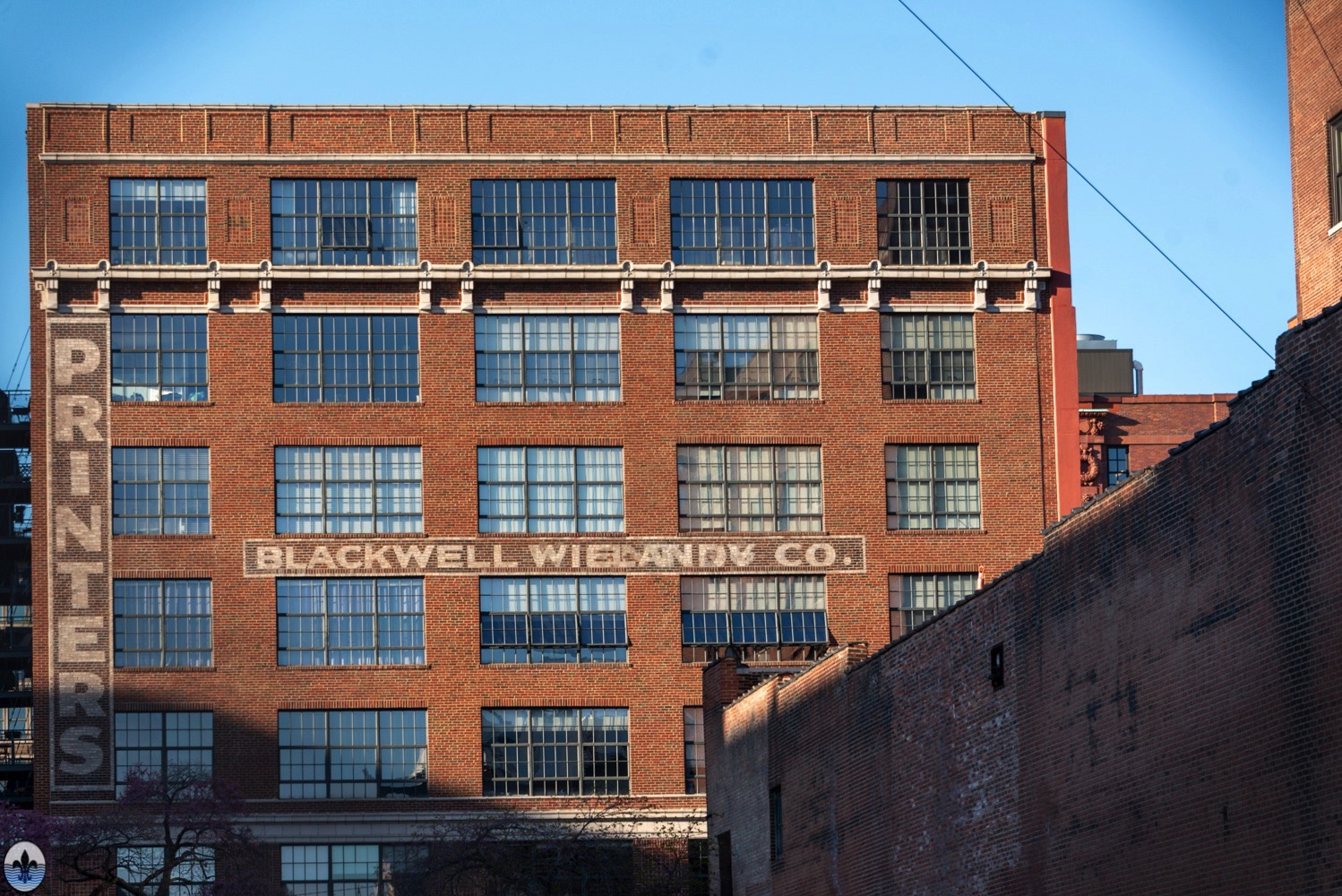
photo by Joe Harrison Some will argue that Downtown West is more “Downtown” than Downtown, and they definitely have some good reasons why that may be, including that it is one of the fastest growing neighborhoods in St. Louis. In fact, a lot has changed since even our last...

Continue reading

Photo Flood 127: The Patch

Photo Flood 127: The Patch

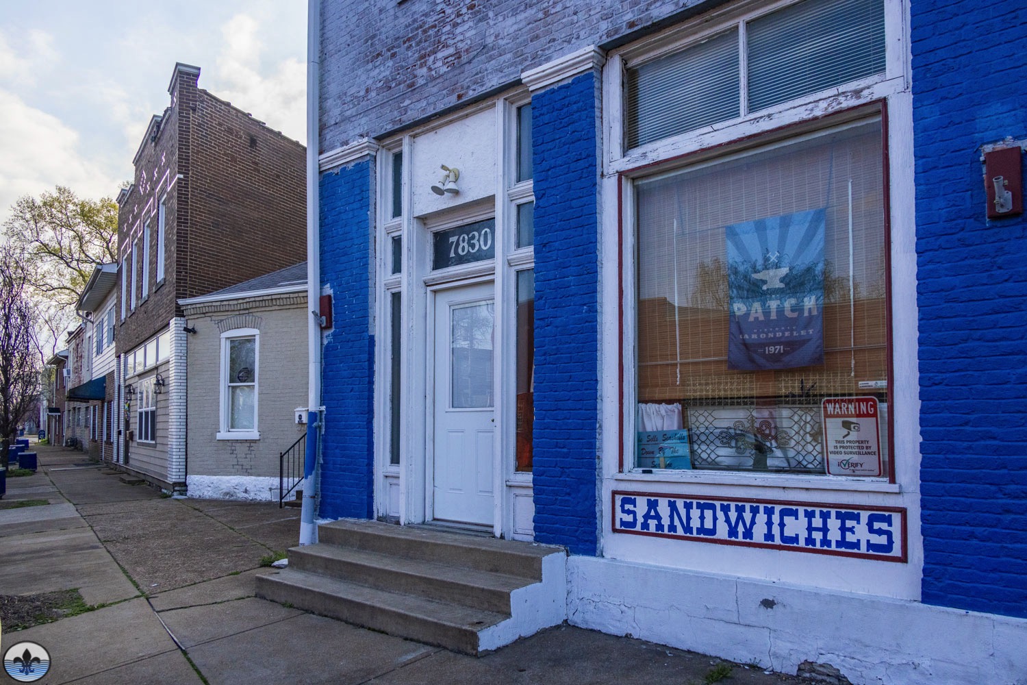
photo by Diana Linsley In the very southern tip of the City of St. Louis, lays a neighborhood that many from the region either overlook or don’t even know exists. Unfortunate circumstances for a neighborhood that was central to so much river industry for many years, including St. Louis’...

Continue reading

Photo Flood 125: Granite City

Photo Flood 125: Granite City

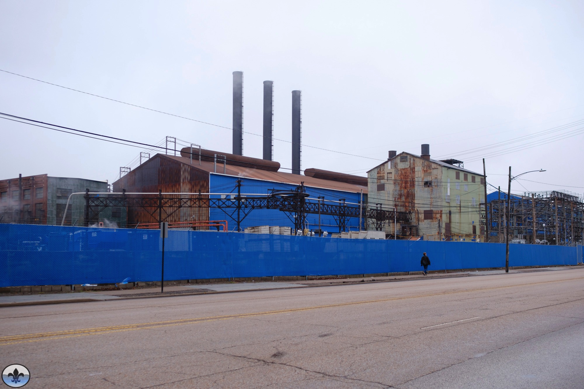
photo by Jason Gray Granite City is the third largest city in Southern Illinois, and an important former company town responsible (in part) for the region’s and the nation’s industrial growth. photo by Mike Matney

Continue reading

Photo Flood 123: Bevo Mill

Photo Flood 123: Bevo Mill

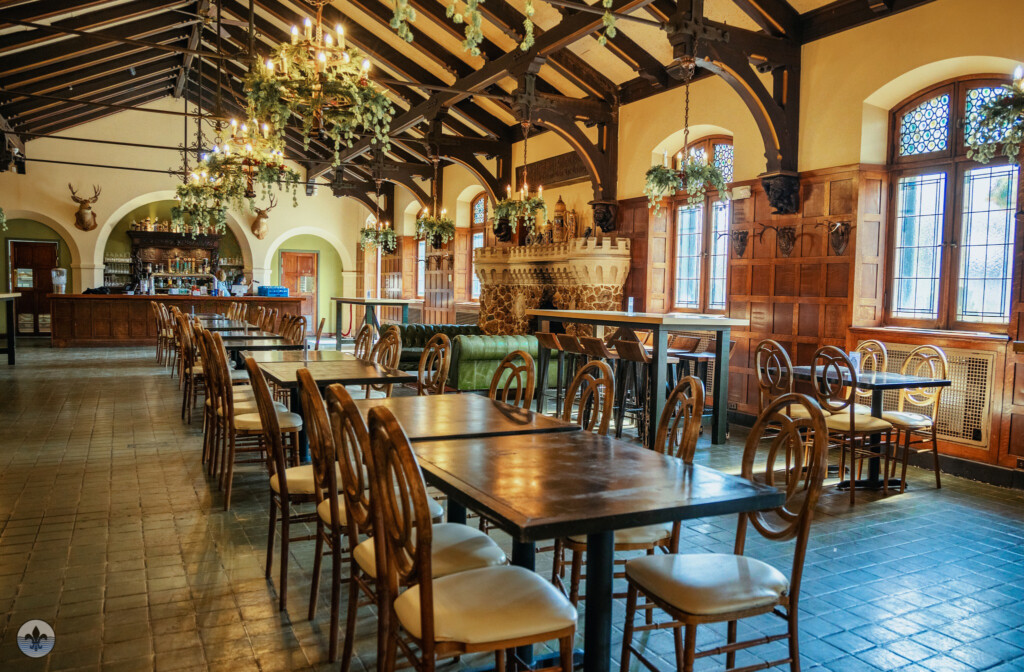
Photographer Maureen Minich Photographer Florence Flick Bevo Mill was flood 21, first visited by Photo Flood STL in April 2014. Here is the link to the original article with an extensive write up on the area. http://www.photofloodstl.org/photo-flood-21-bevo-mill/  Photographer Mike Matney Photographer Bob Crowe Clay deposits discovered in the 1830s...

Continue reading

Photo Flood 122: Midtown

Photo Flood 122: Midtown

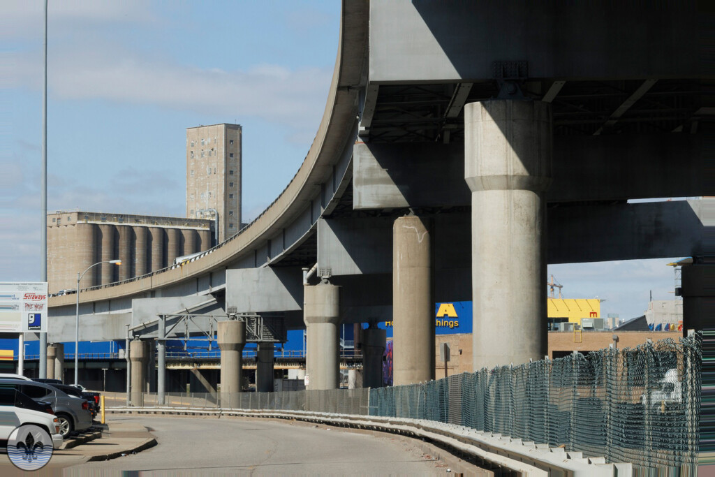
Photographer Joe Rakers Midtown has been the focus of two previous floods, Photo Flood 35 in June 2015 and Photo Flood 49 in August 2016.  In the 7 years since the last visit much has changed. With the addition of IKEA in the adjacent Central West End neighborhood the area has...

Continue reading

Photo Flood 117: Near North Riverfront

Photo Flood 117: Near North Riverfront

Photo by Jen Smith Near North Riverfront is not a neighborhood in the conventional sense of the word, it is a long strip of sparsely populated land that is primarily composed of industrial, commercial, and abandoned real estate that lies between the Mississippi River and the stretch of parallel...

Continue reading

Photo Flood 116: Lafayette Square

Photo Flood 116: Lafayette Square

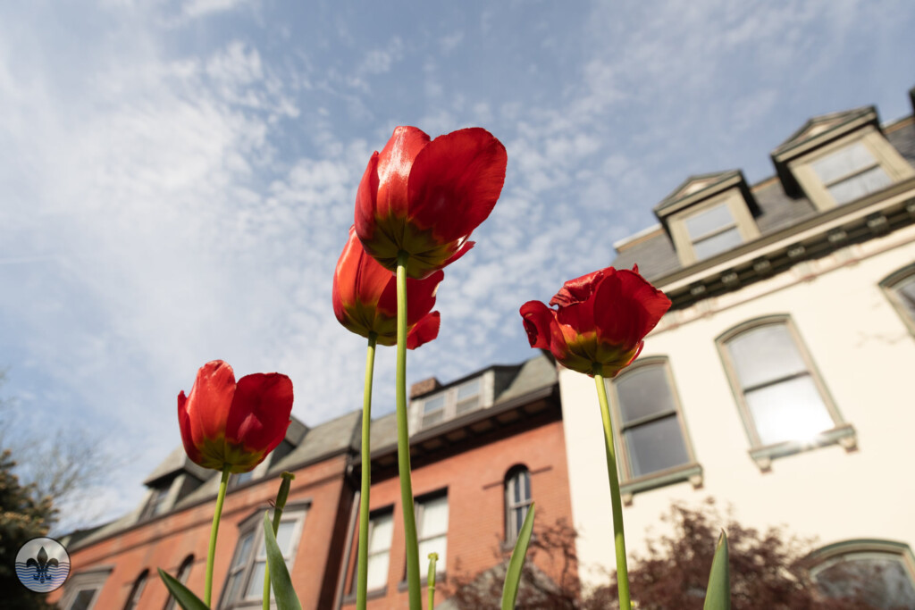
Photo by Ryan Stanley It had been nine years since Photo Flood STL visited Lafayette Square, the 10th Photo Flood in May of 2013. For this flood we were lucky as it was a beautiful spring day and there were many people out and about. As we were waiting...

Continue reading

Photo Flood 114: Old North Saint Louis

Photo Flood 114: Old North Saint Louis

photo by Jeff Phillips Old North Saint Louis (ONSL) is a historic, resilient neighborhood.  Geographically, it is shaped roughly like a rectangle (actually, like a parallelogram). The border of the short end at the top is Palm, which separates ONSL from the architectural crown jewel Hyde Park.  Palm, incidentally,...

Continue reading

Mini-Flood 82: St Charles Rock Road

Mini-Flood 82: St Charles Rock Road

photo by Valerie Rippey St Charles Rock Road is a major thoroughfare in northwest St. Louis County, and many relics of its long and glorious history are still visible. Before we explore, here’s a little historical background… St Charles Rock Road was the first road to traverse St. Louis...

Continue reading

Photo Flood 111: Benton Park

Photo Flood 111: Benton Park

Photo by Leana Staley Benton Park was last visited by Photo Flood STL in September 2013, being the 14th flood. Most of us weren’t in the group then and for many of us it was the first visit to the neighborhood. With Cherokee Street as its southern border and...

Continue reading

©2024 Photo Flood Saint Louis

Log in with your credentials

or    

Forgot your details?

Create Account