photograph by Susan Price
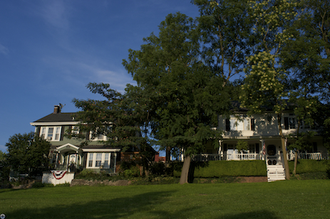
A charming and quiet residential community just south of the former bustle of industrial Ellendale and just west of The Hill, Clifton Heights possesses a rare insularity for a city neighborhood (partially due to its past as a private subdivision). Today, many of the older Victorian homes surrounding Clifton Heights Park provide a beautiful contrast to the serene park, and demonstrate the ambitions of early residents.

photograph by Jackie Johnson

photograph by Jackie Johnson

photograph by Ann Aurbach
photograph by John MacEnulty

photograph by Katherine Adiol
Before his designs for the private places of the Central West End would make him famous, and even before his efforts on Compton Heights, Julius Pitzman was hired to survey and plan Clifton Heights. Pitzman carved the gently winding streets for an early subdivision out of one side of a wooded valley overlooking the River Des Peres. Across the river, Kate Thomas’ Ellendale was also taking shape, but chose a more regular, urban street grid for its orientation (rather than Pitzman’s ungulating one). This, combined with the fact that much of early Clifton Heights was a private, Methodist enclave, are likely the reasons for it relative sleepy setting.

photograph by James Palmour

photograph by Santiago Bianco

photograph by Dave Adams
photograph by Jason Gray

photograph by Debbie Gehrin
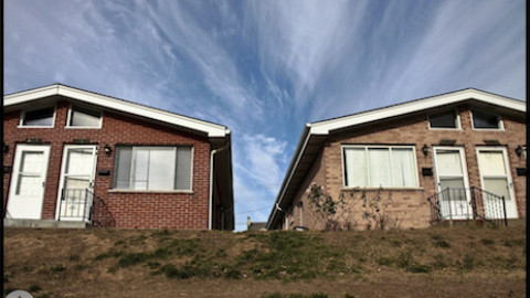
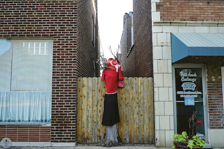
As surrounding neighborhoods industrialized, Clifton Heights maintained its identity as a network of subdivisions, some private. The variety of housing examples throughout is a testament to this. Then, as now, this quaintness drew residents intent on raising families away from the hustle and bustle. Air pollution from Ellendale’s smelting plants caused a temporary abandonment of homes on Clifton Heights’ northwestern border, until EPA regulations curbed toxic emissions for those facilities. Because Interstate 44 follows the Des Peres River through this section of the city, its construction caused minimal disruption to the status quo of the neighborhood (save for the large hotel along Hampton).

photograph by Shelly Cendroski

photograph by Dave Adams
photograph by Shelly Cendroski
photograph by Jason Gray

photograph by James Palmour
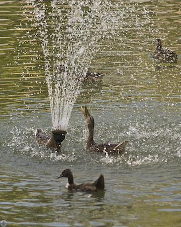
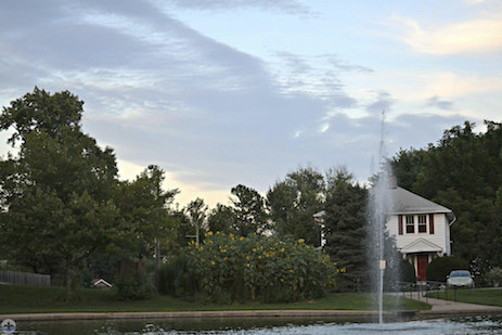
Today, Clifton Heights has attracted a new generation of families looking for a big city respite, some of who are among those professionals revitalizing the city as a whole. The neighborhood association is quite active and maintains a blog for community discussions and news. Several Photo Flooders remarked upon how beautiful Clifton Heights’ public park was, especially as it rests at a lower elevation than the grand homes surrounding it, giving park visitors both a sense of security and elegant views.

photograph by John MacEnulty
photograph by James Palmour

photograph by Dave Adams
photograph by Ann Aurbach
MAP:

Our endpoint was SOHA Bar and Grill. Though unassuming from the outside, the restaurant is warm and inviting (it fills up fast), with an excellent beer list. Our food was delicious as well. This is a spot we’ll definitely try again!

photograph from SOHA Facebook Page