Photo by Dennis Daugherty
The first time that Photo Flood STL visited Dutchtown it was in January 2016. Many of the participants in this flood weren’t even members of the group then. For some this was the first time being in the neighborhood. The original article on the neighborhood can be located here. http://www.photofloodstl.org/photo-flood-42-dutchtown/ Looking at the photos of then and now you can see that in many ways the neighborhood hasn’t changed that much.
Photo by Jane DiCampo
The name “Dutchtown” derives from the word “Deutch”, which means German. As with many places in St. Louis it was Americanized to the present spelling. The area was the southern center of the German settlements in St. Louis in the early 19th century. The German Cultural Society in St. Louis has its headquarters in the neighborhood. It was also the original site of the Concordia Seminary, which later moved to Clayton.
Photo by James Palmour
Photo by Jennifer Smith
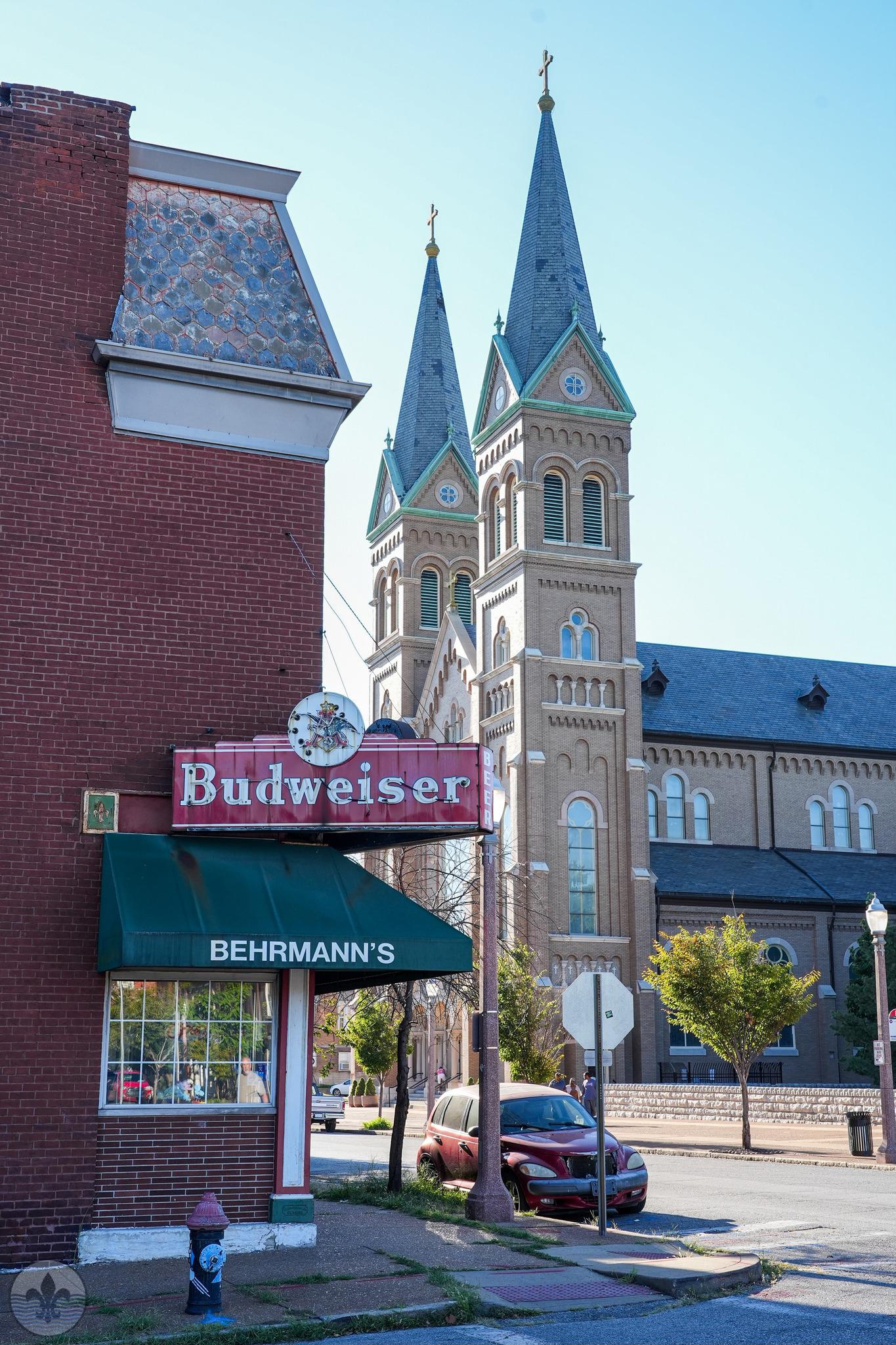
Photo by Jennifer Sarti
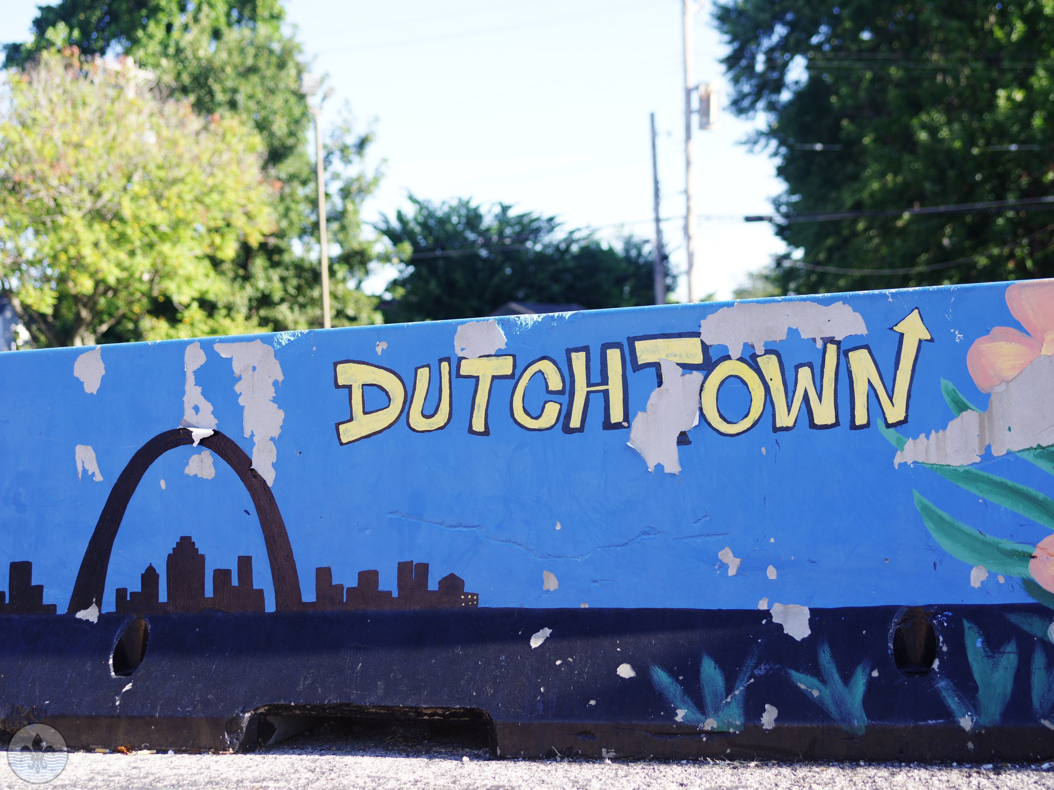
According to the Dutchtown neighborhood association (www.dutchtownstl.org) the boundaries are “fuzzy.” While the city has official boundaries their website says the following: “But signs around the neighborhood will tell you that “You Are In Dutchtown” when you are, in fact, in Gravois Park, Mount Pleasant, or Marine Villa. Here at DutchtownSTL, we approximate Dutchtown to be everything in between Cherokee Street or Chippewa Street to the north, Bates Street to the south, the Mississippi River to the east, and the Missouri Pacific railroad tracks to the west.”
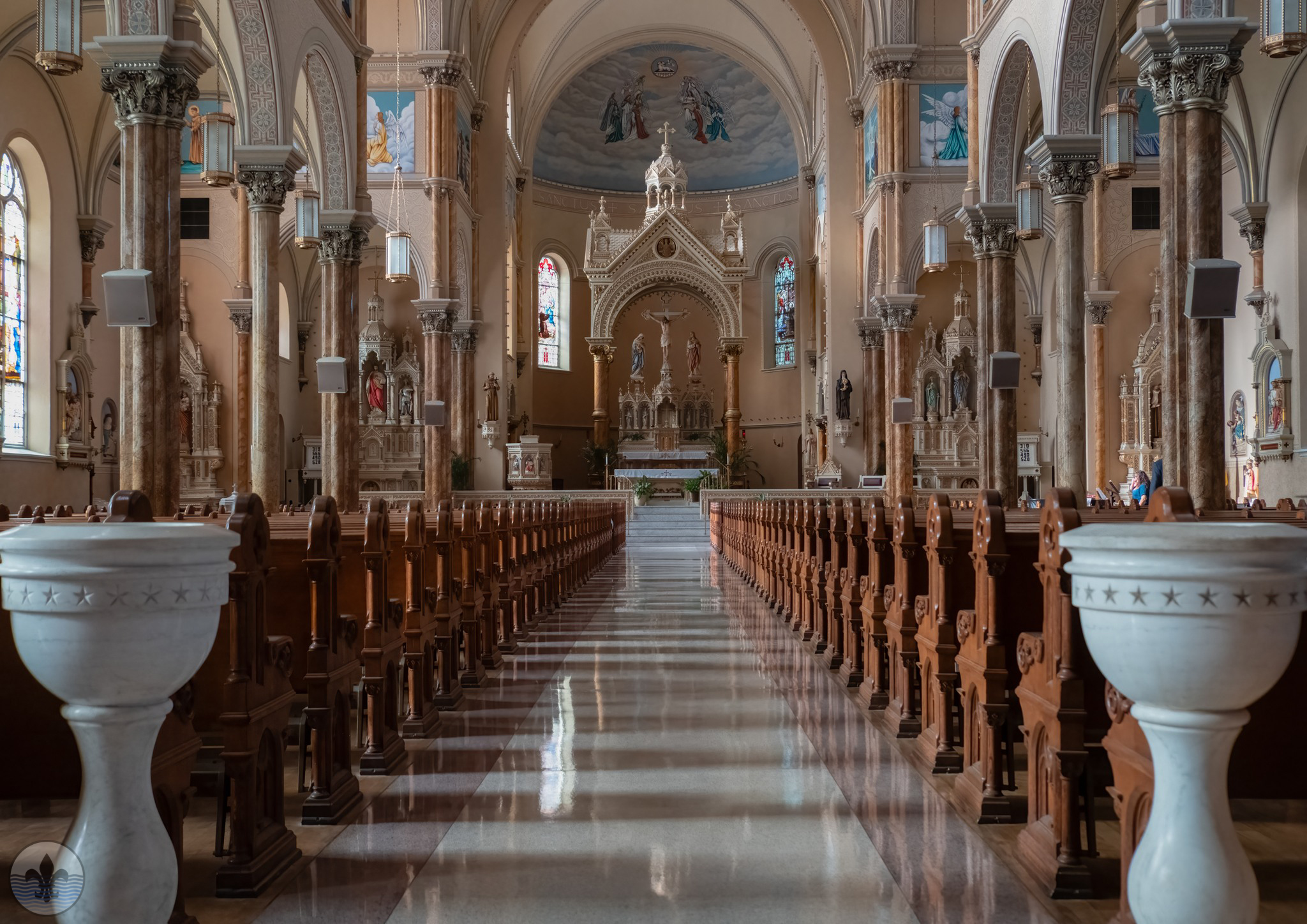 Photo by Irene Griggs
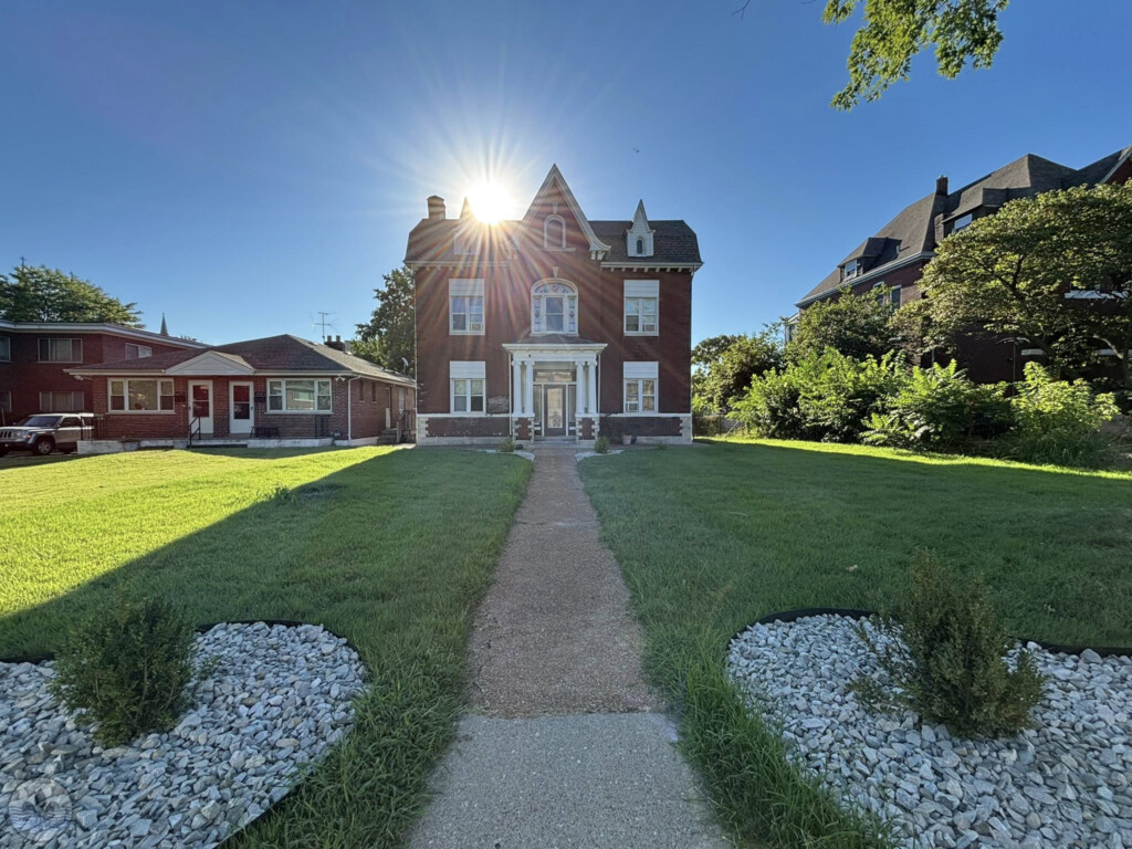
Photo by James Palmour
 Photo by Jane DiCampo
The following is a short history of the neighborhood from the St. Louis city website: https://www.stlouis-mo.gov/live-work/community/neighborhoods/dutchtown/dutchtown-overview.cfm
Originally settled by German immigrants at the beginning of the twentieth century, Dutchtown still retains its strong German identity. As originally surveyed, a portion of present-day Dutchtown, south of Chippewa to Bates Street, was a part of the Commonfield of Carondelet. The City annexed this area in 1870. In 1875, it was still rural in character, but development was heavy north of Chippewa and east of Jefferson. Laclede Park was acquired in 1854 from City reservations in the old Commons. Marquette Park, at Osage and Minnesota, was acquired in 1915 from the Board of Children’s Guardians. A swimming pool was built in 1917.
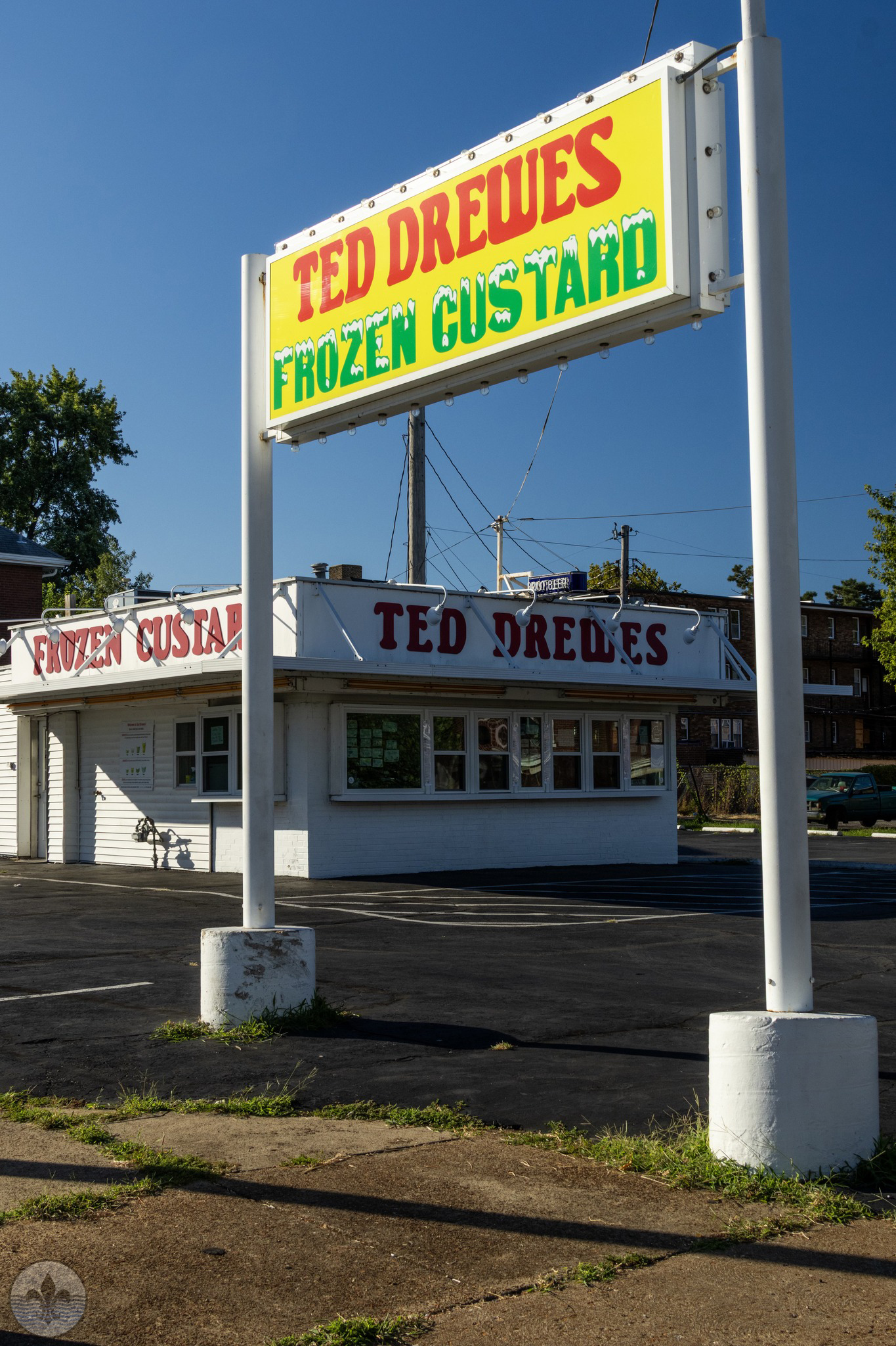
Photo by Yvonne Suess
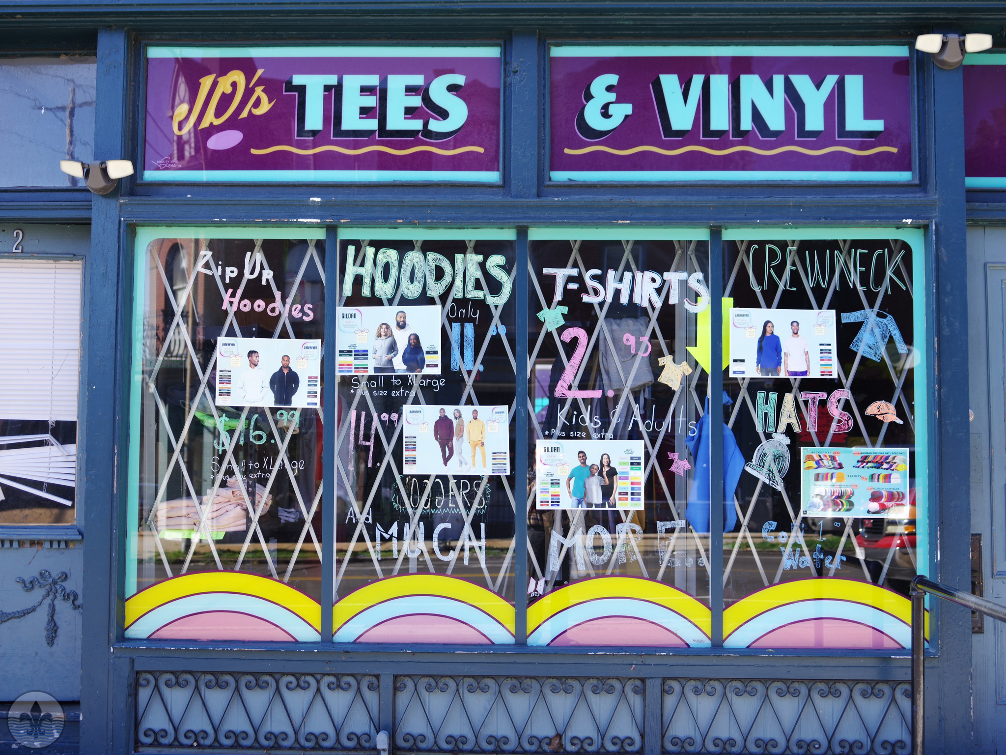
Photo by Dennis Daugherty
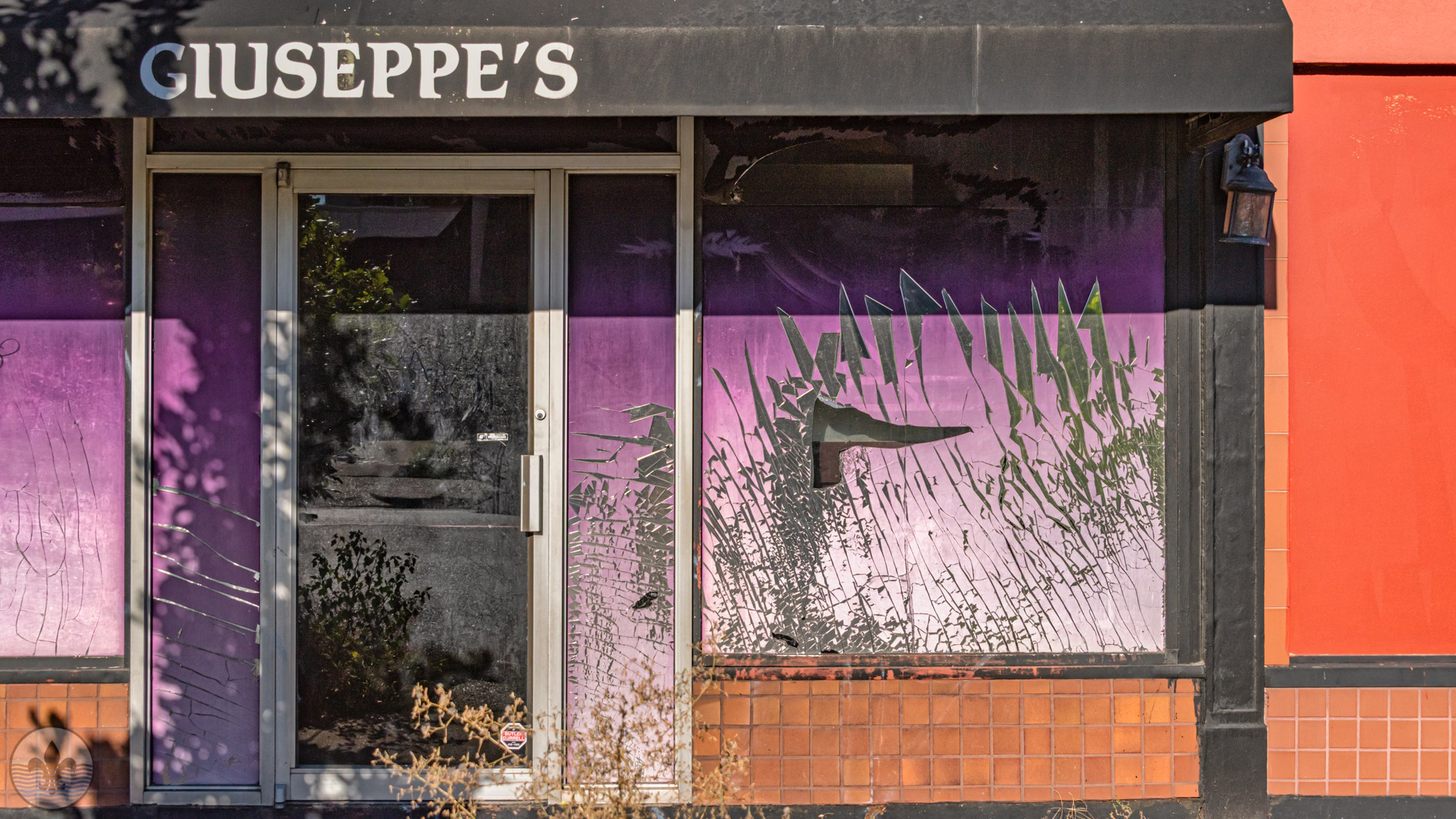
Photo by RJ Wilner
St. Anthony of Padua, located at Meramec Street and Michigan Avenue, is the oldest Catholic Church in the area. The church was completed in 1869, and its parochial schools were opened in 1970. St. Anthony’s High School was erected in 1922, as well as a monastery in 1931 and new parochial school in 1962. The well-known Alexian Brothers Hospital at 3933 South Broadway opened its doors in 1870. Over the years the hospital had experienced continual growth, with a new building program continually underway.
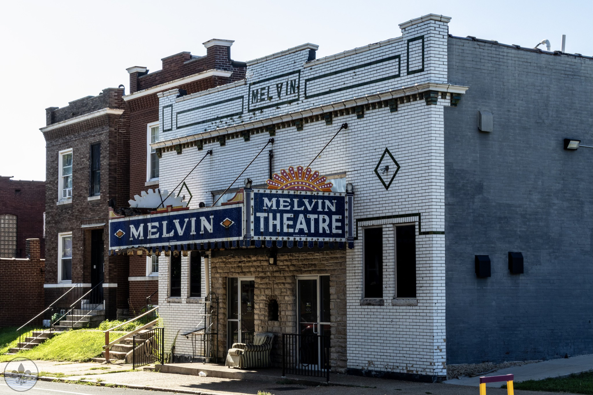 Photo by Yvonne Suess
Photo by Jennifer Smith
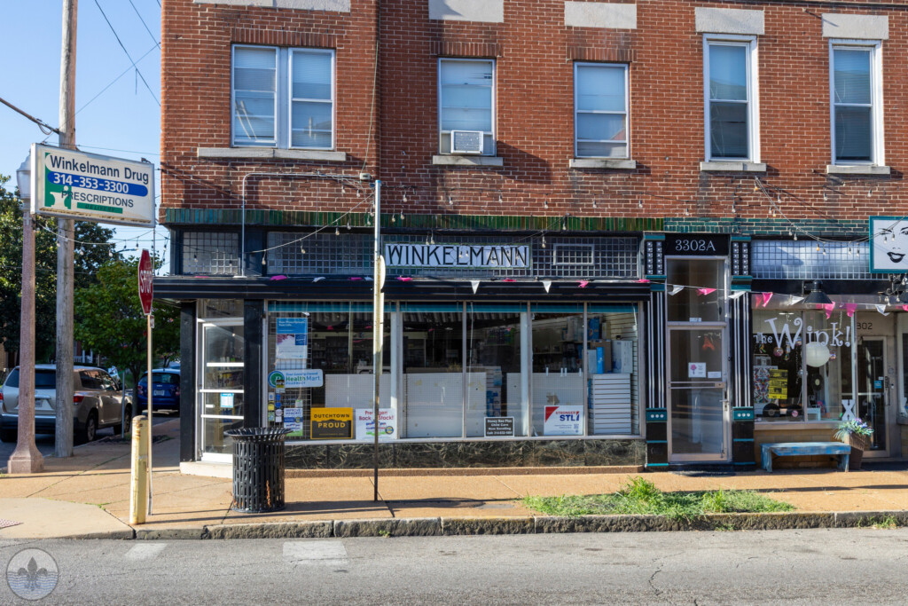
Photo by Mike Matney
Photo by Jane DiCampo
Photo by Irene Griggs
The older homes in the neighborhood are located north of Meramec Street. This area is composed mostly of two- and four-family flats mixed with a smaller number of single-family dwellings. The architecture displays an obvious Germanic influence, reflective of the area’s early inhabitants. Most were erected between 1890 and 1910, while the oldest few date back to the 1870’s.
Grand Boulevard Park and Grand-Meramec Park subdivisions were developed on the site of old Hashagen’s Park in the late 1910s. Some of the later development in Dutchtown was the construction of apartments near Spring and Delor, which occurred in the 1960s.
The commercial areas developed primarily around major transit lines, which include Chippewa, Meramec, Gravois, Grand and Jefferson. South of Meramec, Virginia Avenue served as the main commercial street. Presently, commercial property on Meramec east of Grand has been reduced throughout the years, whereas commercial districts along Grand between Gravois and Chippewa are well maintained.
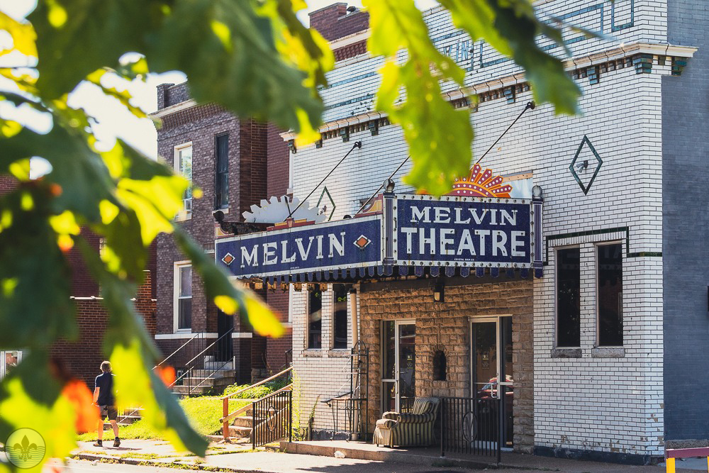
Photo by Jane DiCampo
Photo by Mike Matney
Photo by Jennifer Smith
The walk through the neighborhood was interesting. There were pockets of well maintained homes while in other spots it wasn’t as well maintained. Just as we were wrapping up the flood we even heard a few gun shots, but that is life in the city. It didn’t detract from our outing but it did give us something to talk about as the flood ended.
Photo by Jane DiCampo


