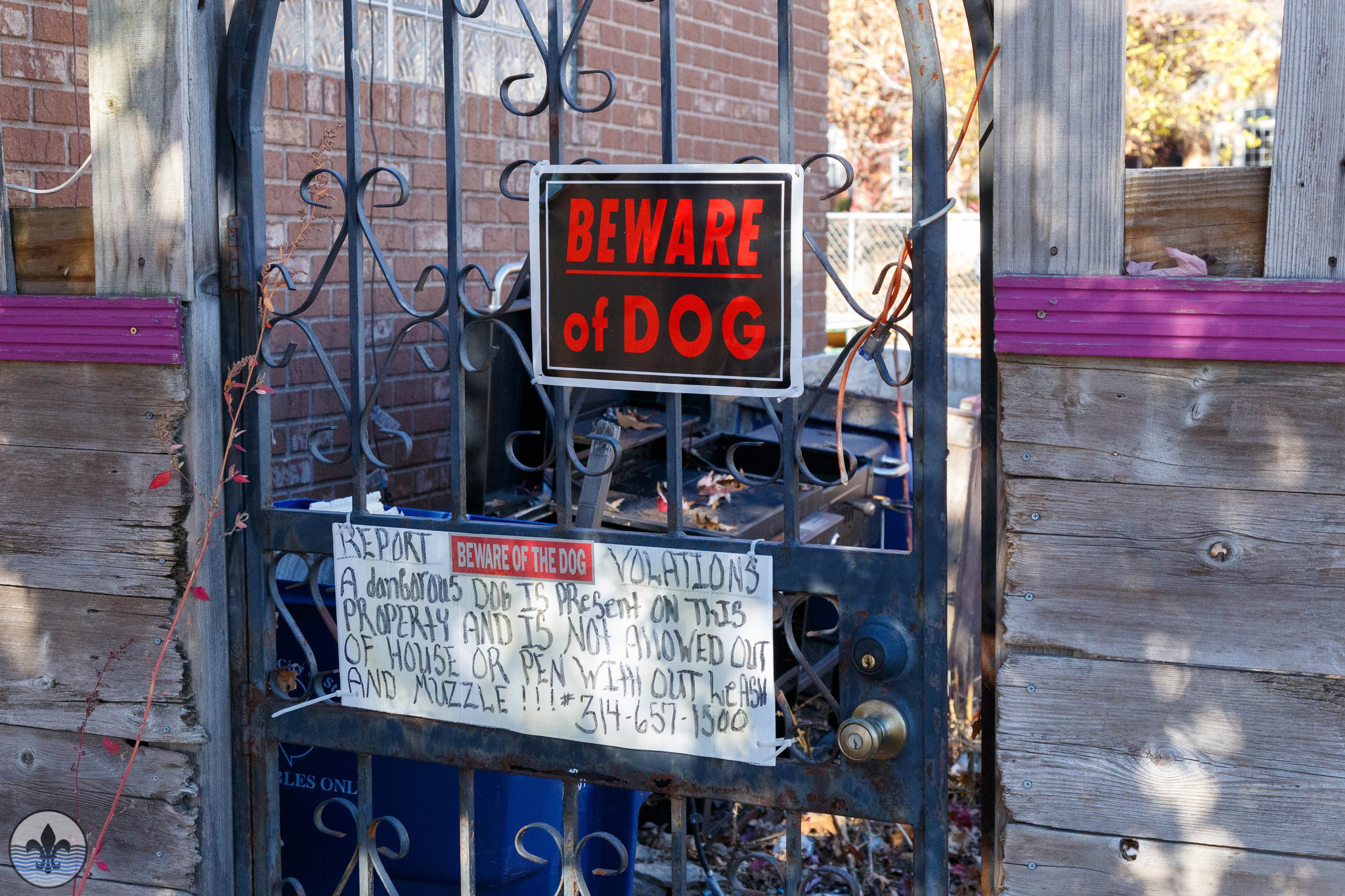
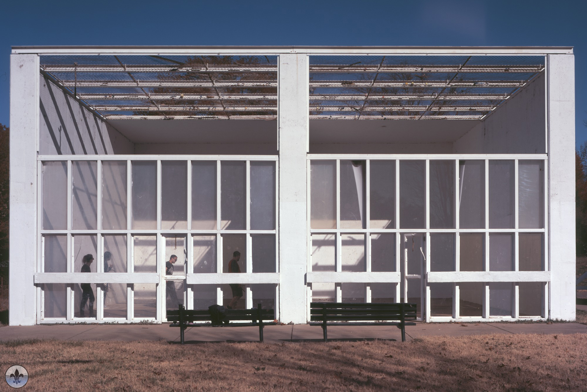
Photographer Jim Harter
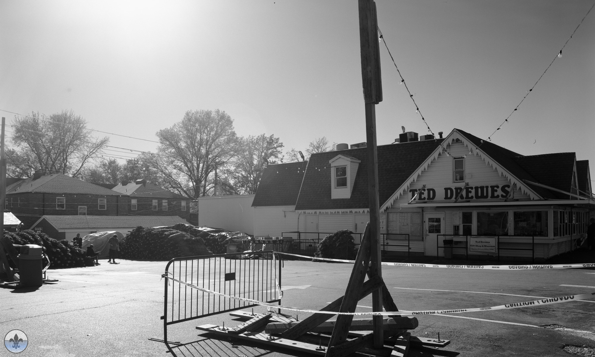
St. Louis Hills is located in southwestern St. Louis. The first time Photo Flood STL visited the neighborhood was in August 2014. The boundaries are Chippewa Street to the north and northwest, Gravois Avenue to the southeast, and the St. Louis county border to the southwest. One of St. Louis’ most famous site lies within boundaries: Ted Drewes Frozen Custard.
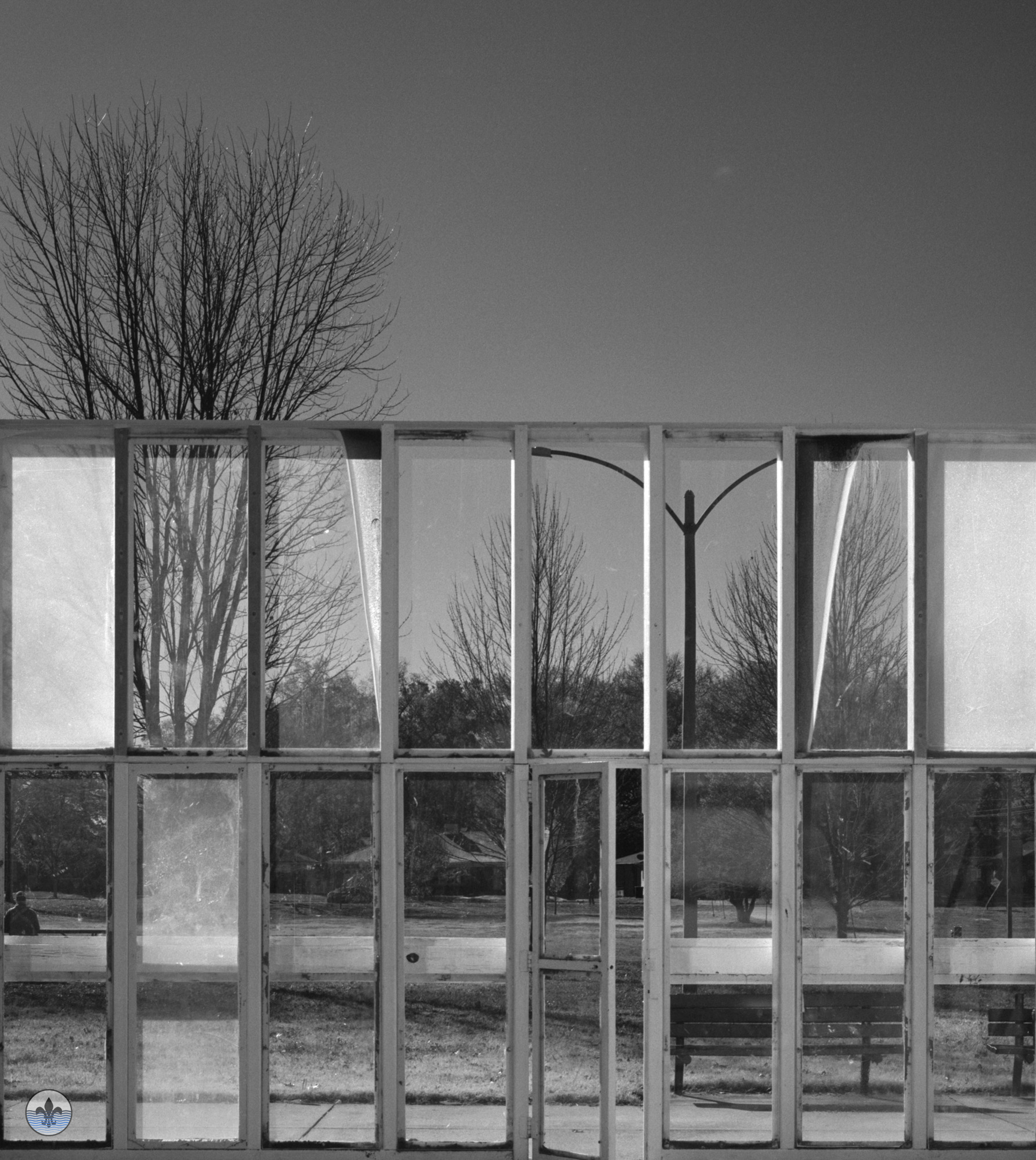
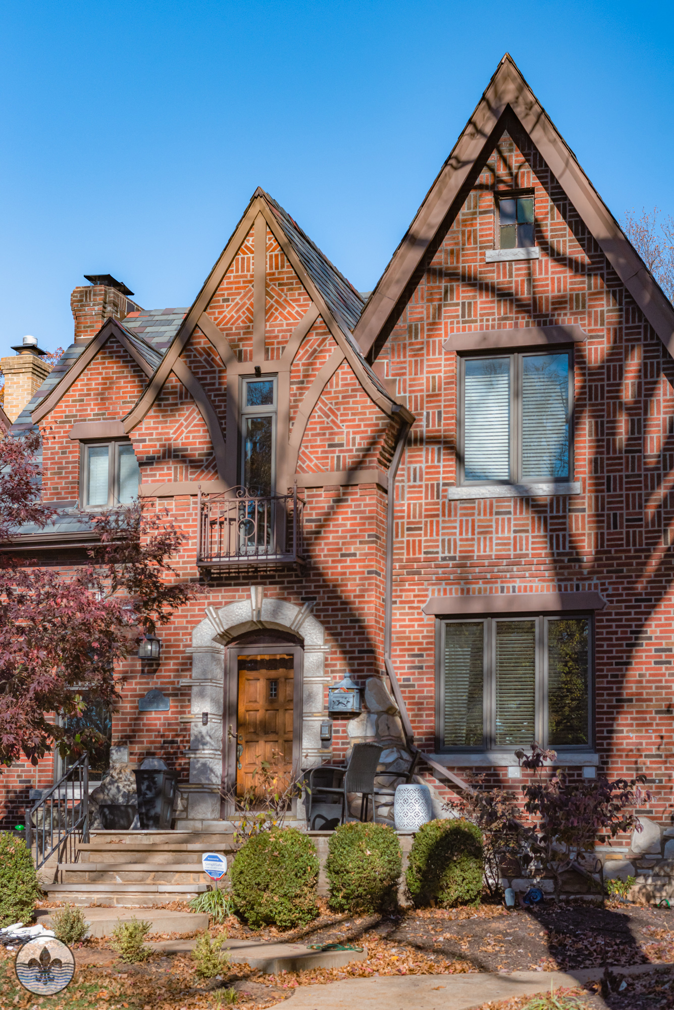
Photographer RJ Wilner
As for the history of the area, the following paragraphs come directly from the St. Louis Hills Neighborhood Association:
The history of St. Louis Hills, developed from 1930-1950’s, is relatively short by the city’s beginnings in 1763. The land which became St. Louis Hills dates back to deeds granted to pioneer French colonists Madame Ann Camp and Anton Reihle in 1768 by one founder of the Village of St. Louis, Pierre Laclede. At the time, the land included 2,471 acres. Camp and Reihl’s heirs sold the land to George C. Clarke, who gave it to two sons. When the Village was chartered as the City of St. Louis in 1836, St. Louis Hills was still remote, open and forested land, and essentially remained so until the early 1930’s. In 1876, when the county and city of St. Louis divided responsibilities, the western boundary of St. Louis City was set just west of the River des Peres (River of the Fathers). Even then, what is now St. Louis Hills, was still open land.
Photographer Jane DiCampo
Photographer Ron O’Reilly
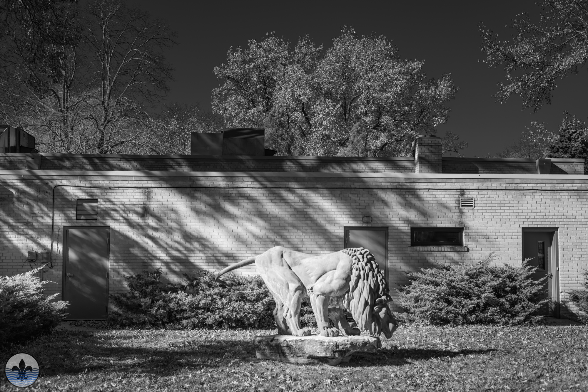
Photographer Mike Matney
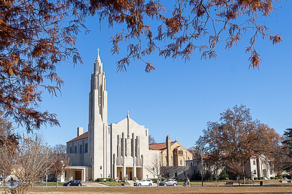
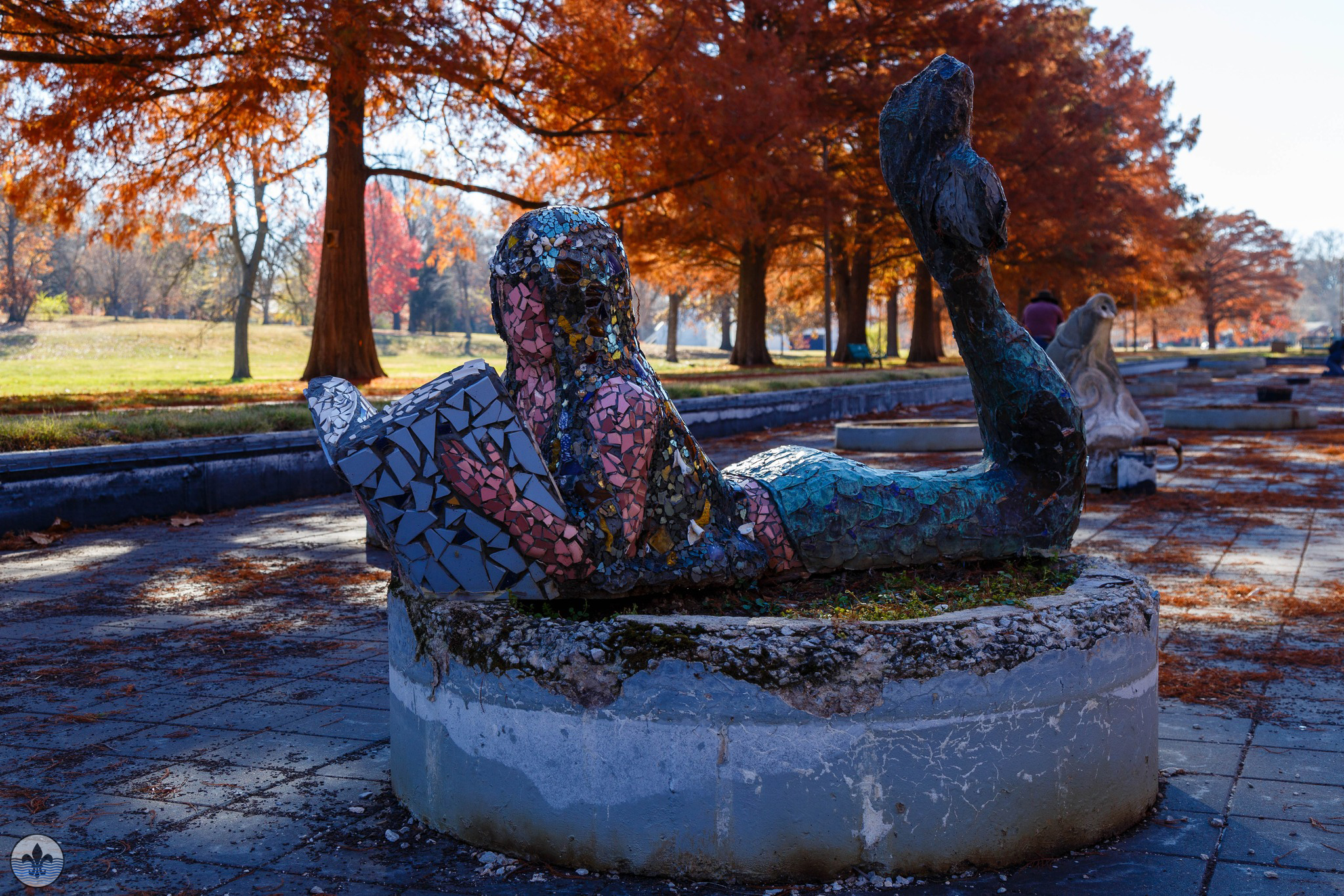
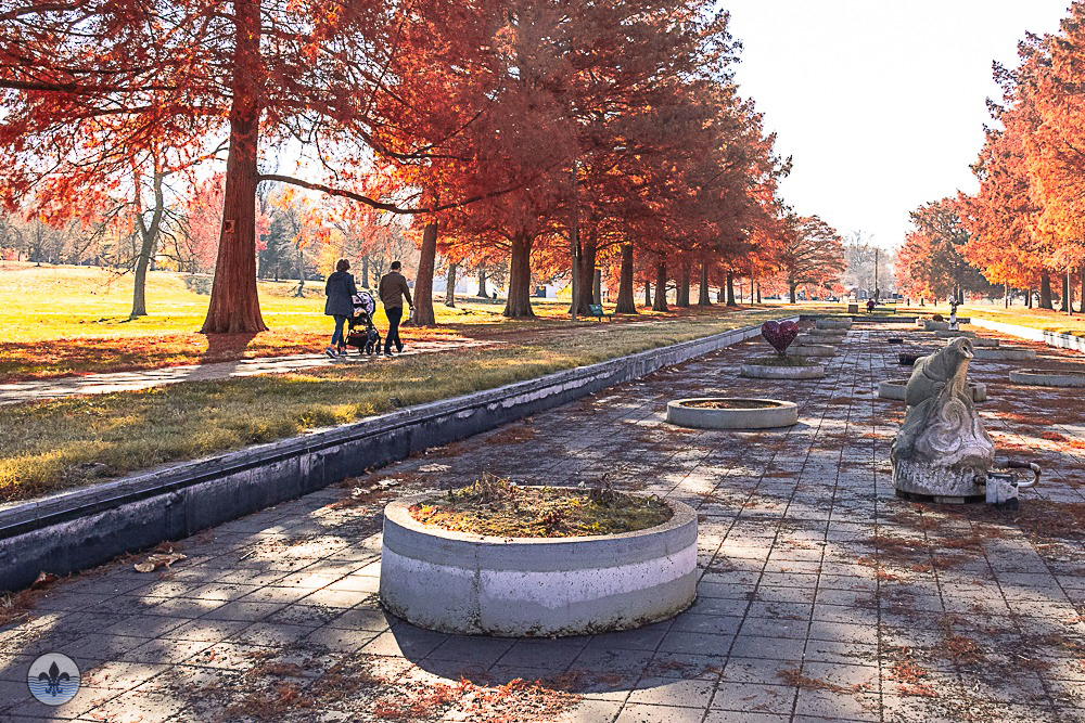
David Rowland Francis, Governor of the state from 1889-1893, became owner of part of the property in 1884 on which he established his vast farm. At the turn of the century, David R. Francis was President of the Louisiana Purchase Exposition from 1889 until its opening in 1904. Francis originally considered use of his farmland as a site for the World’s Fair, but logistics of transportation and construction to Francis’ land persuaded use of Forest Park as the now famous 1904 World’s Fair site. Francis was appointed U.S. Ambassador to Russia in 1916. The next year, Francis made a gift of the land to the city, and so it was named Francis Park. David Rowland Francis died January 15, 1927.
Photographer RJ Wilner
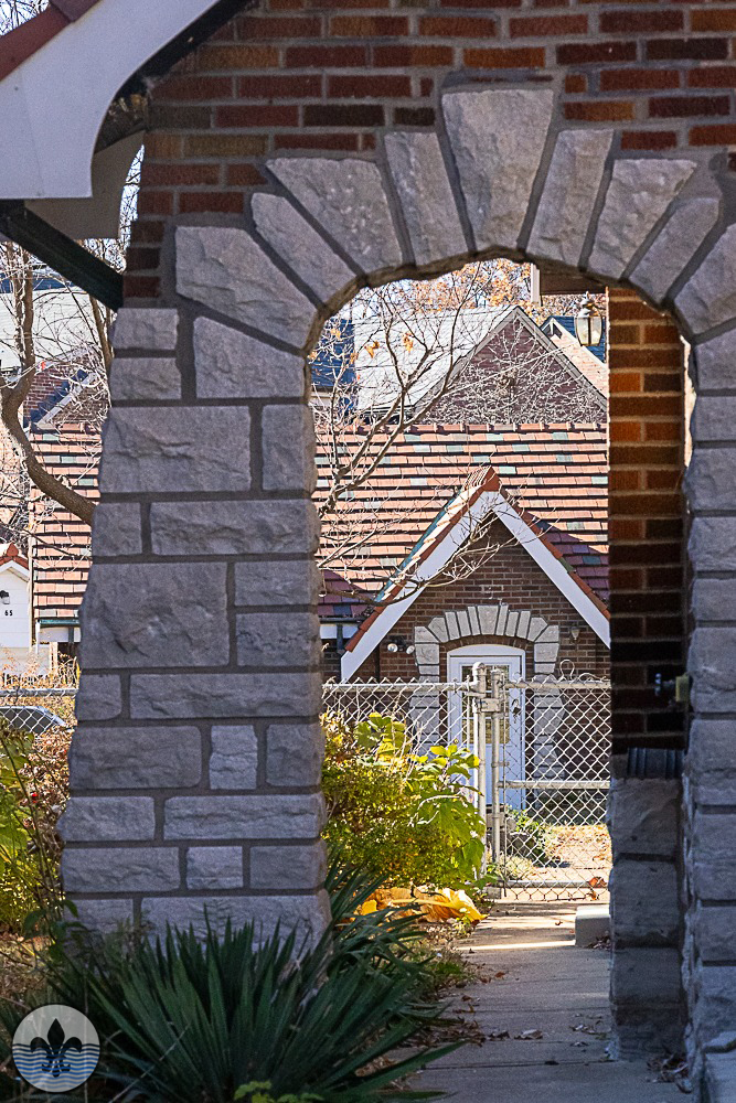
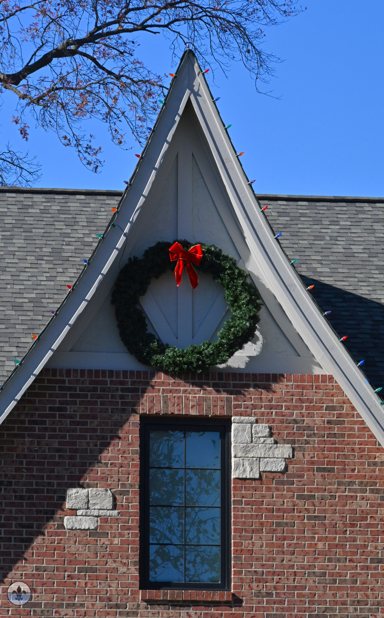
Photographer Jim Harter
Photographer Ron O’Reilly
Photographer Jane DiCampo
Photographer Mike Matney
Cyrus Crane Willmore, for whom the neighborhood’s second park is named, became the visionary developer of the St. Louis Hills 700 acre neighborhood. He came to St. Louis in 1912 after graduation from the University of Illinois law school, and worked for a realty firm until 1922 when he formed his own company. Willmore’s intentions for the area were clear from the beginning: tree lined residential streets for families and single persons, churches and schools throughout, bordered on three sides by developing businesses, and open green spaces in parks.
Photographer Jim Harter
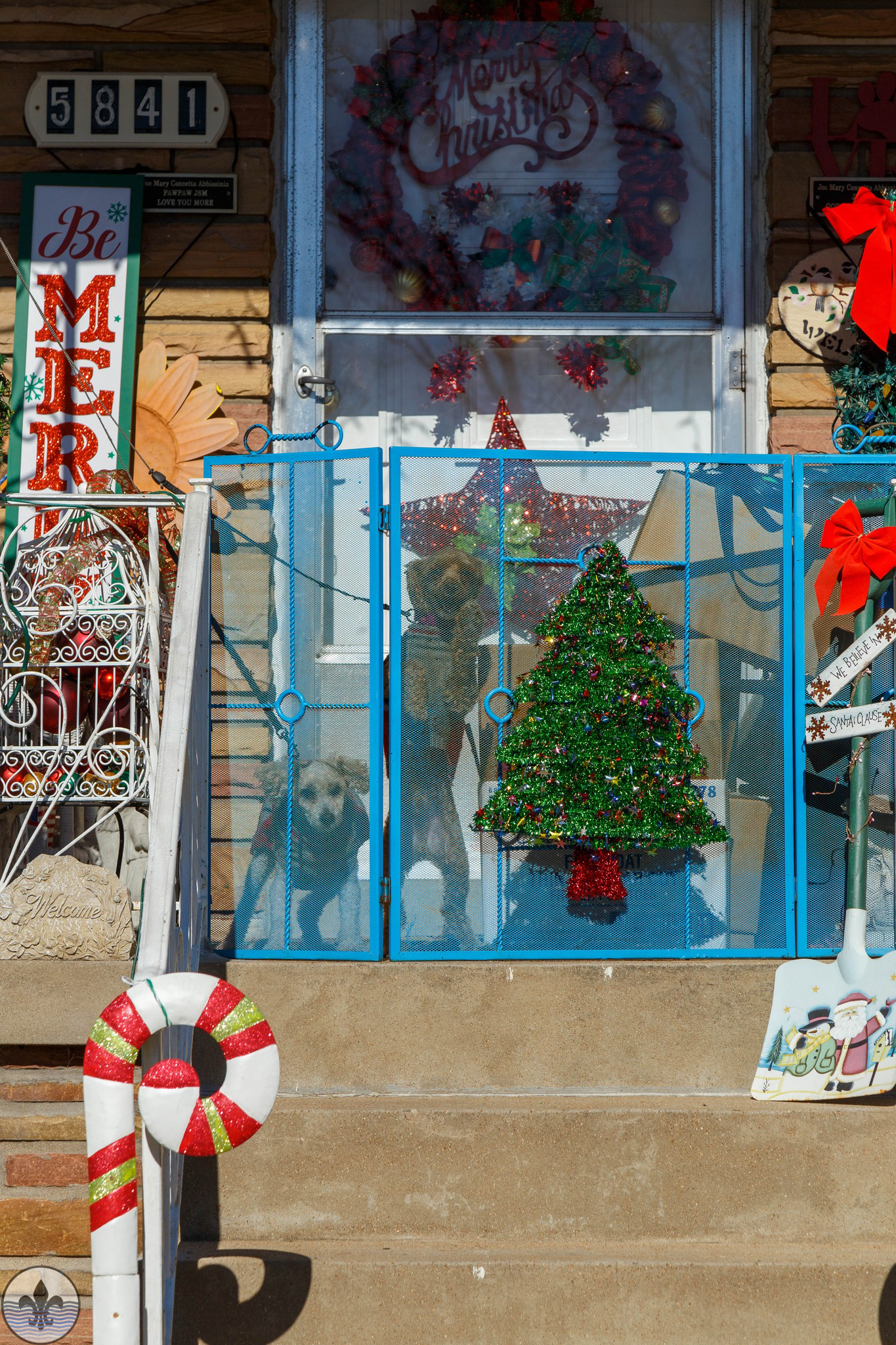
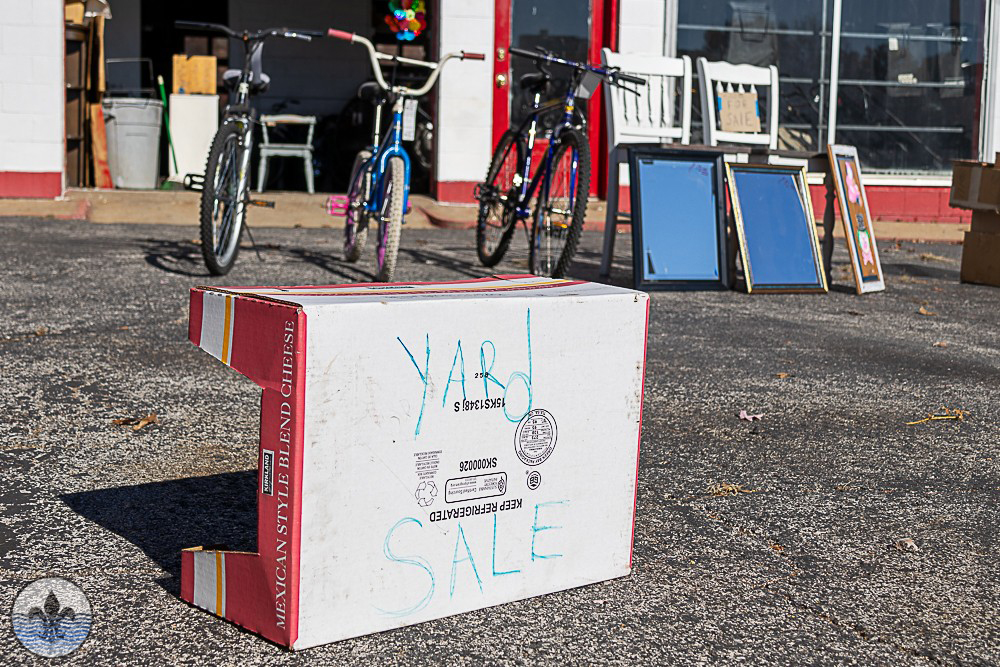
Photographer RJ Wilner
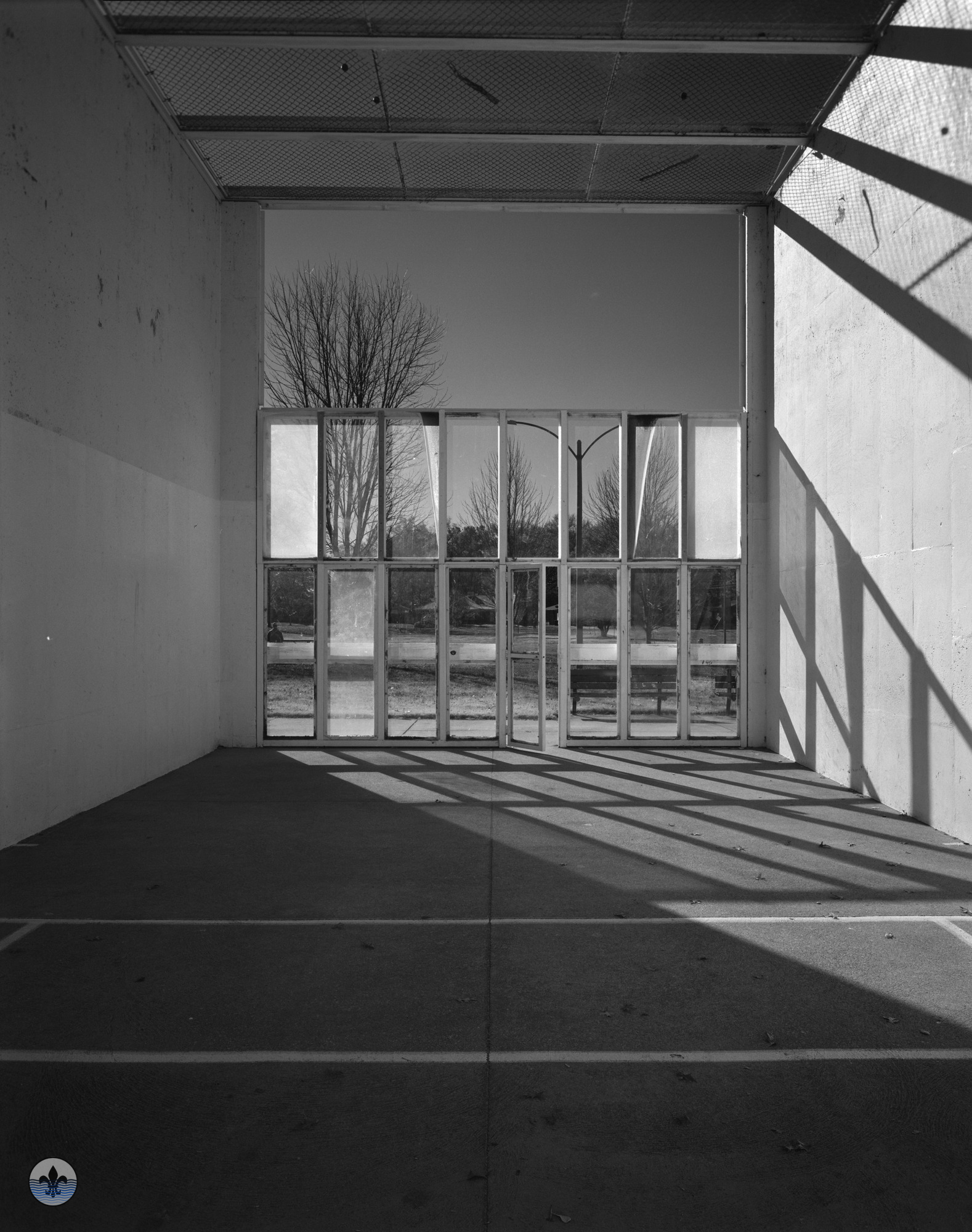
Photographer Ron O’Reilly
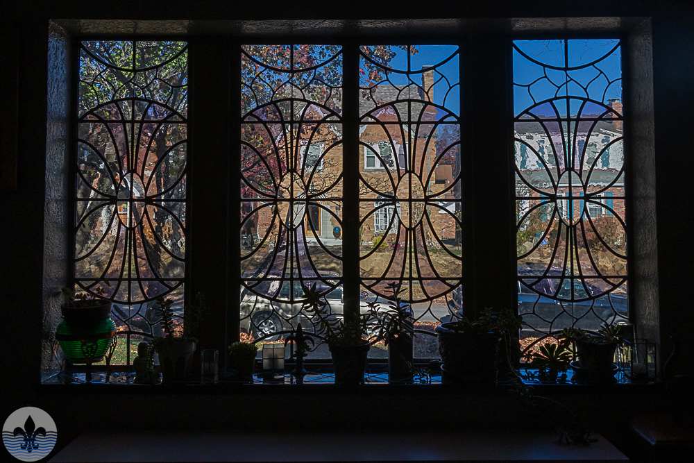
Photographer Jane DiCampo
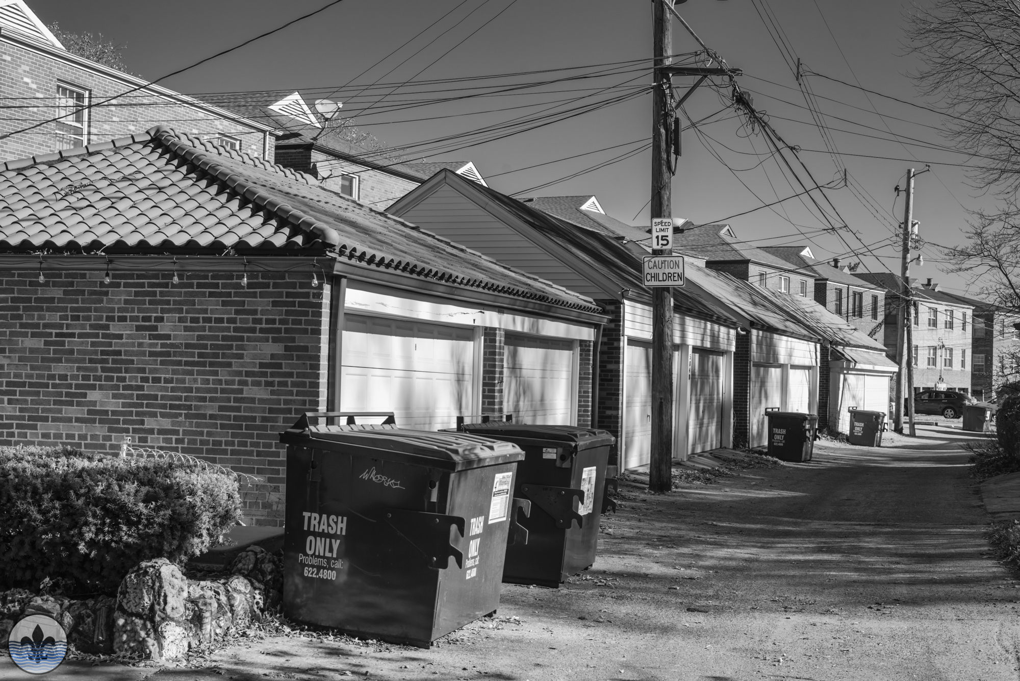
Photographer Mike Matney
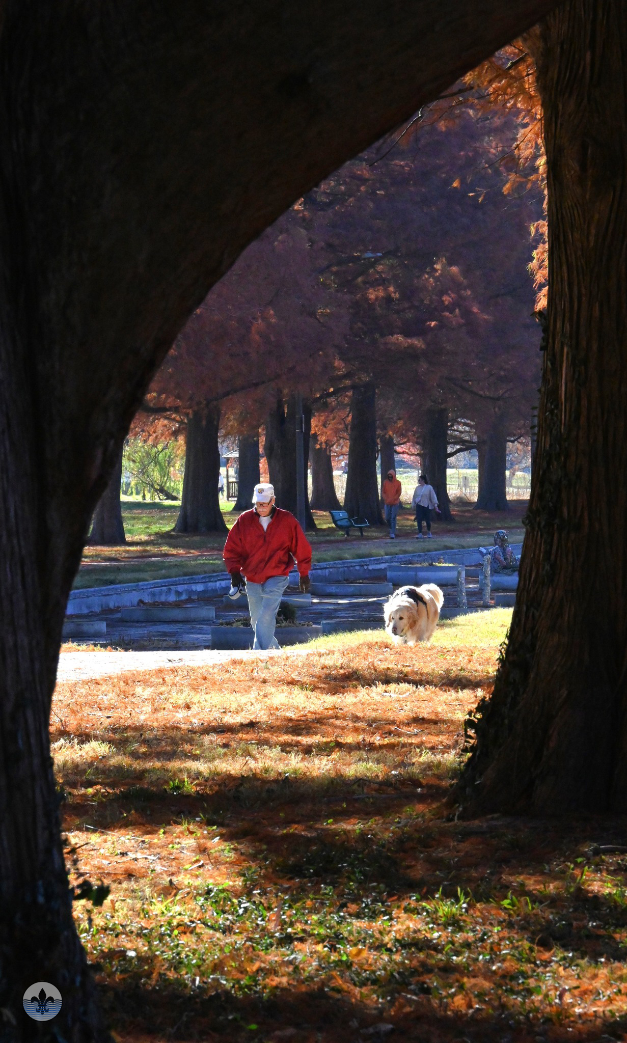
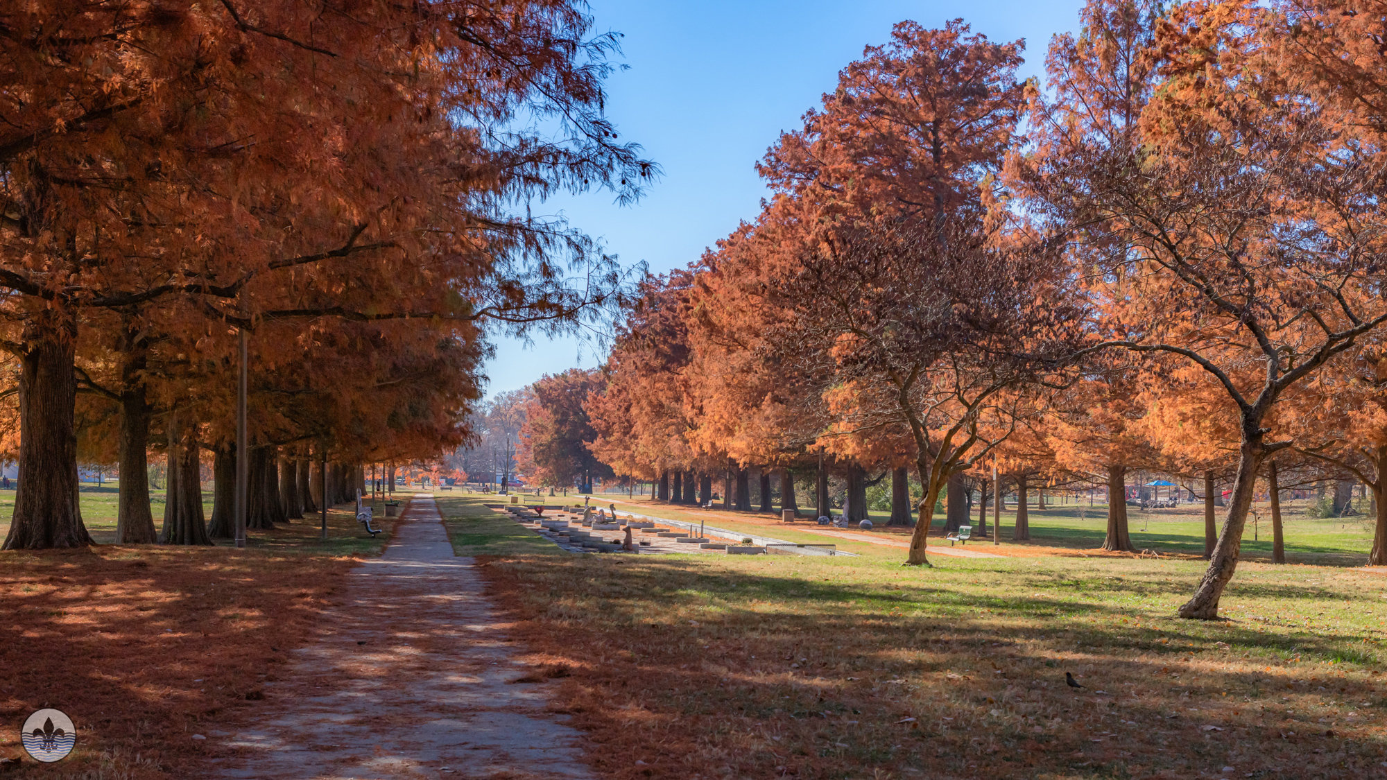
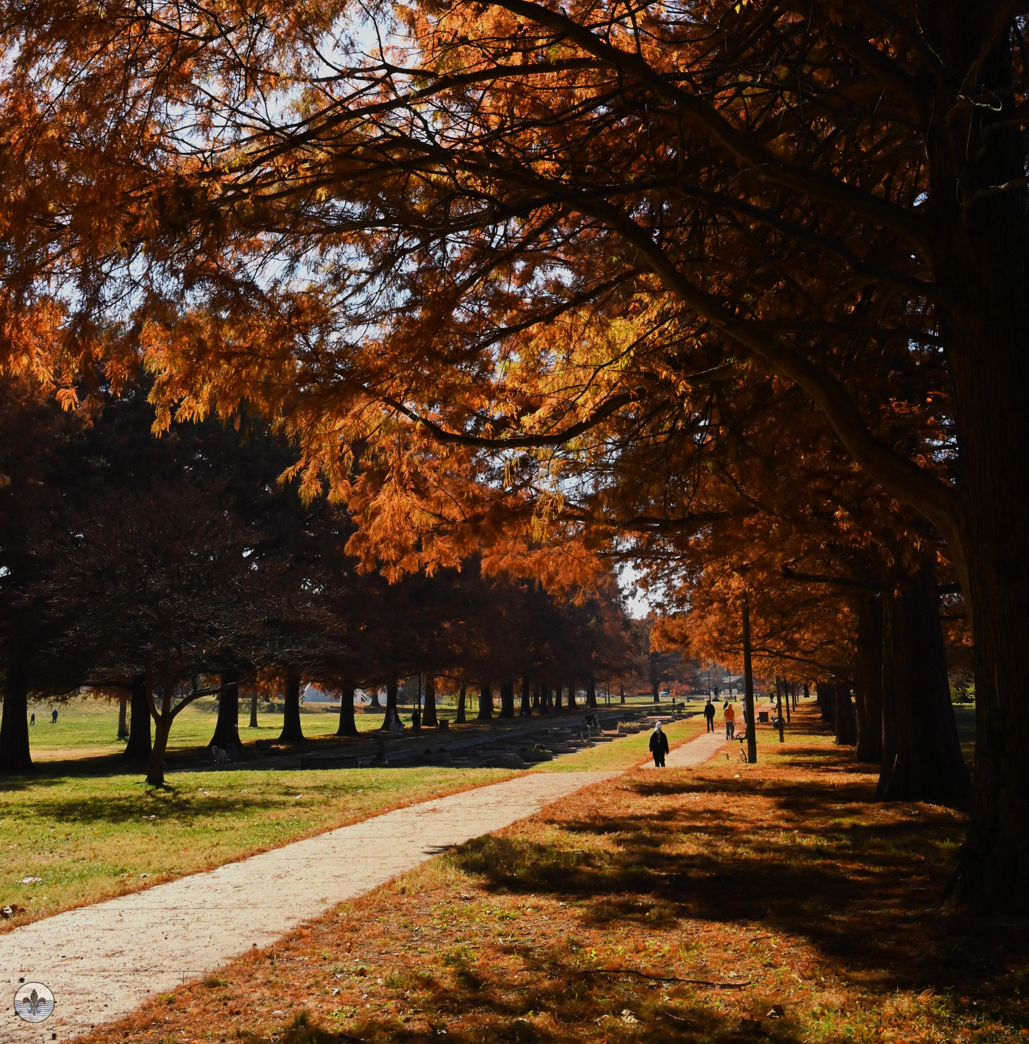
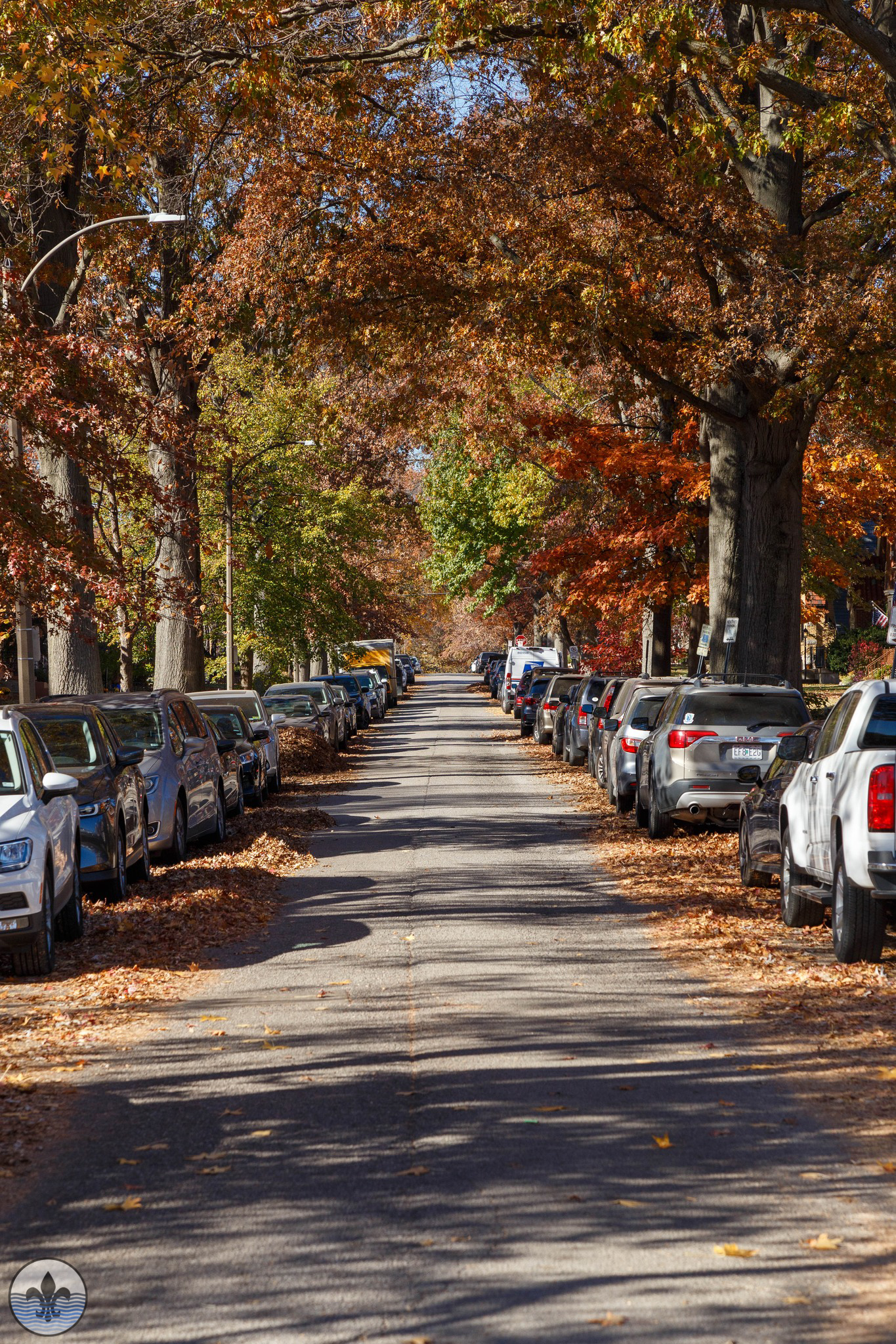
Names of streets within the neighborhood, as well as early development architecture, reflect Willmore’s English heritage—Nottingham Avenue, Devonshire Avenue, Tamm Avenue to name a few. Eichelberger Street, a main east-west roadway through the center of St. Louis Hills, was originally named Clarke Road for George C. Clarke. Mature trees lining streets throughout the area are predominantly oak, maple, poplar, with birch trees along Francis Park.
Photographer Jane DiCampo
Photographer Jim Harter
Photographer RJ Wilner
Photographer Mike Matney
Photographer Jane DiCampo


