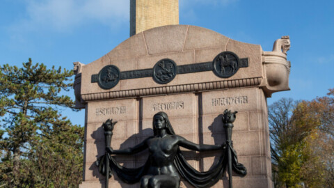
Photo by Jane DiCampo
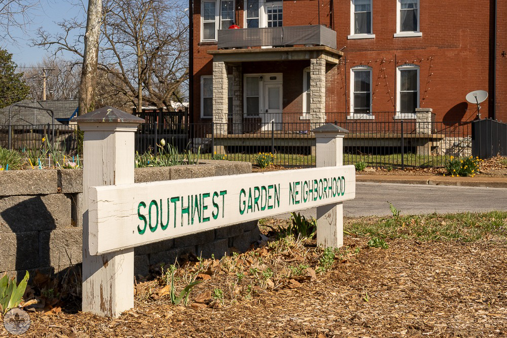
Southwest Garden was first visited by Photo Flood STL on April 13, 2019. The article for that flood can be found at https://www.photofloodstl.org/photo-flood-79-southwest-garden/
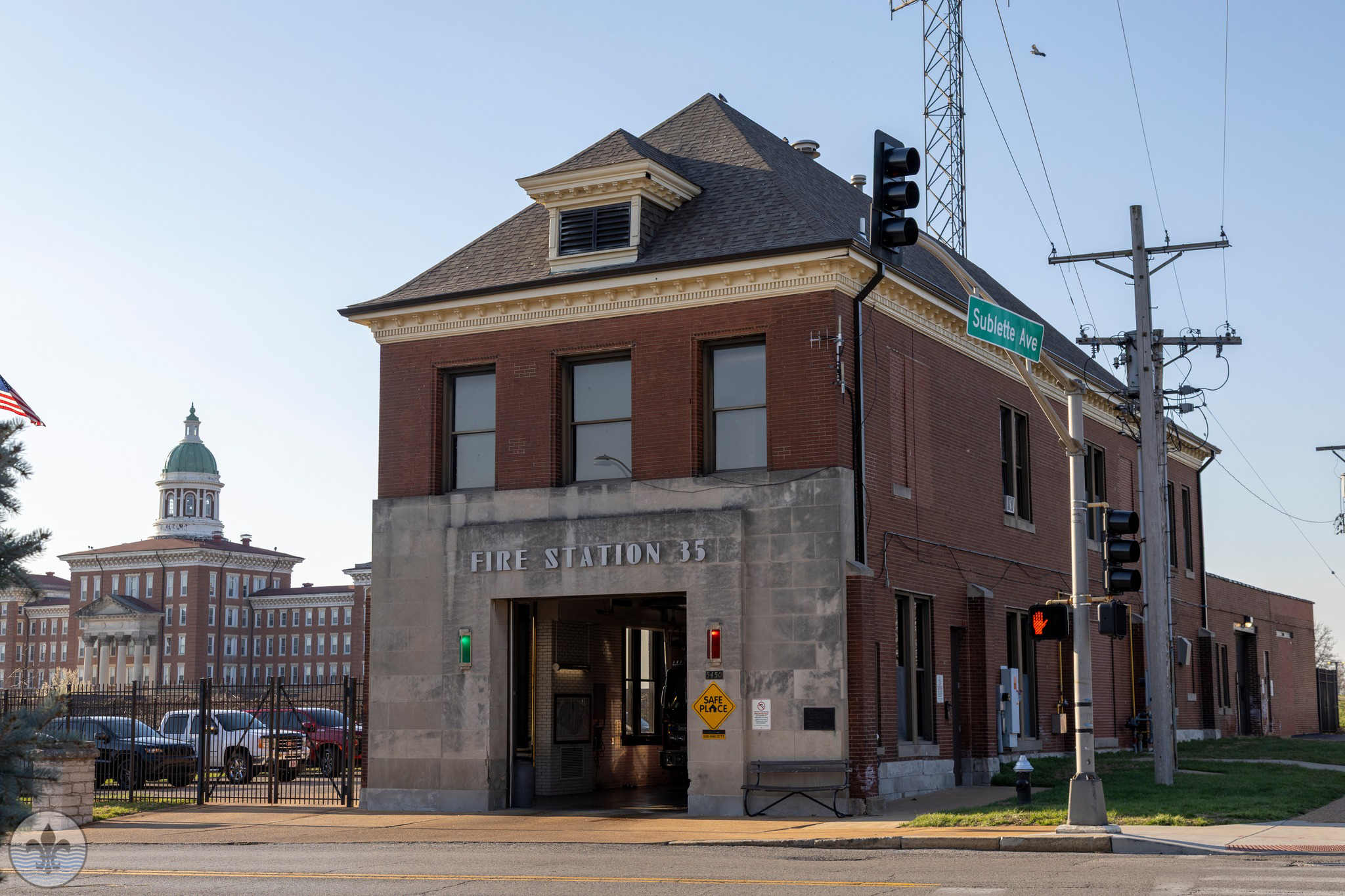
Photo by Mike Matney
The boundaries of the neighborhood are complicated; bound by I-44 to the northeast, Missouri Botanical Gardens and Tower Grove Park to the east, Scanlan and Connecticut to the south, Hampton to the west, and Columbia, Southwest Ave, and South Kingshighway to the northwest. It seems to be an combination of both Shaw and the Hill, which based upon its history and location isn’t a surprise, yet it stands on its own.
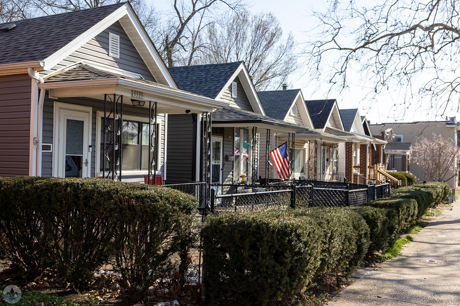
Photo by Caren Libby
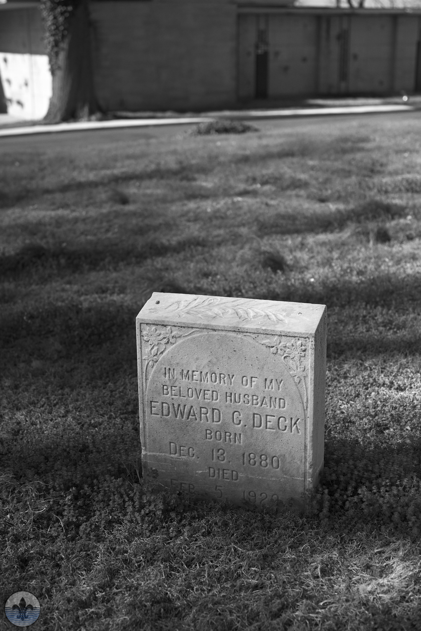
Photo by Joe Sardo
In the late 1830s clay deposits were discovered in the area west of Kingshighway. When the ban on framed construction was lifted in St. Louis (a response to the Great Fire which had destroyed part of the city in 1849) and the completion of the railroad in 1852 then hastened development of the clay mines and brick industry. German, Irish and Italian immigrant factory workers and free Blacks working the railroad were all attracted to both The Hill (north of Columbia Ave.) and Southwest Garden as the mines expanded in the 1890s.
Photo by Jane DiCampo
Photo by Mike Matney
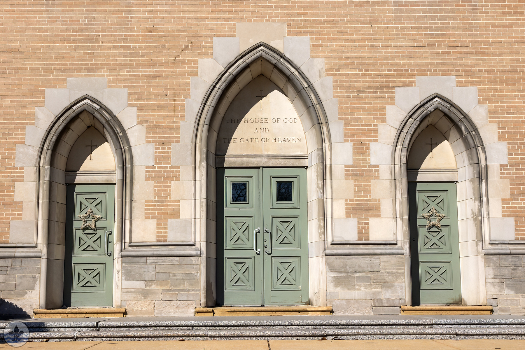
Photo by Caren Libby
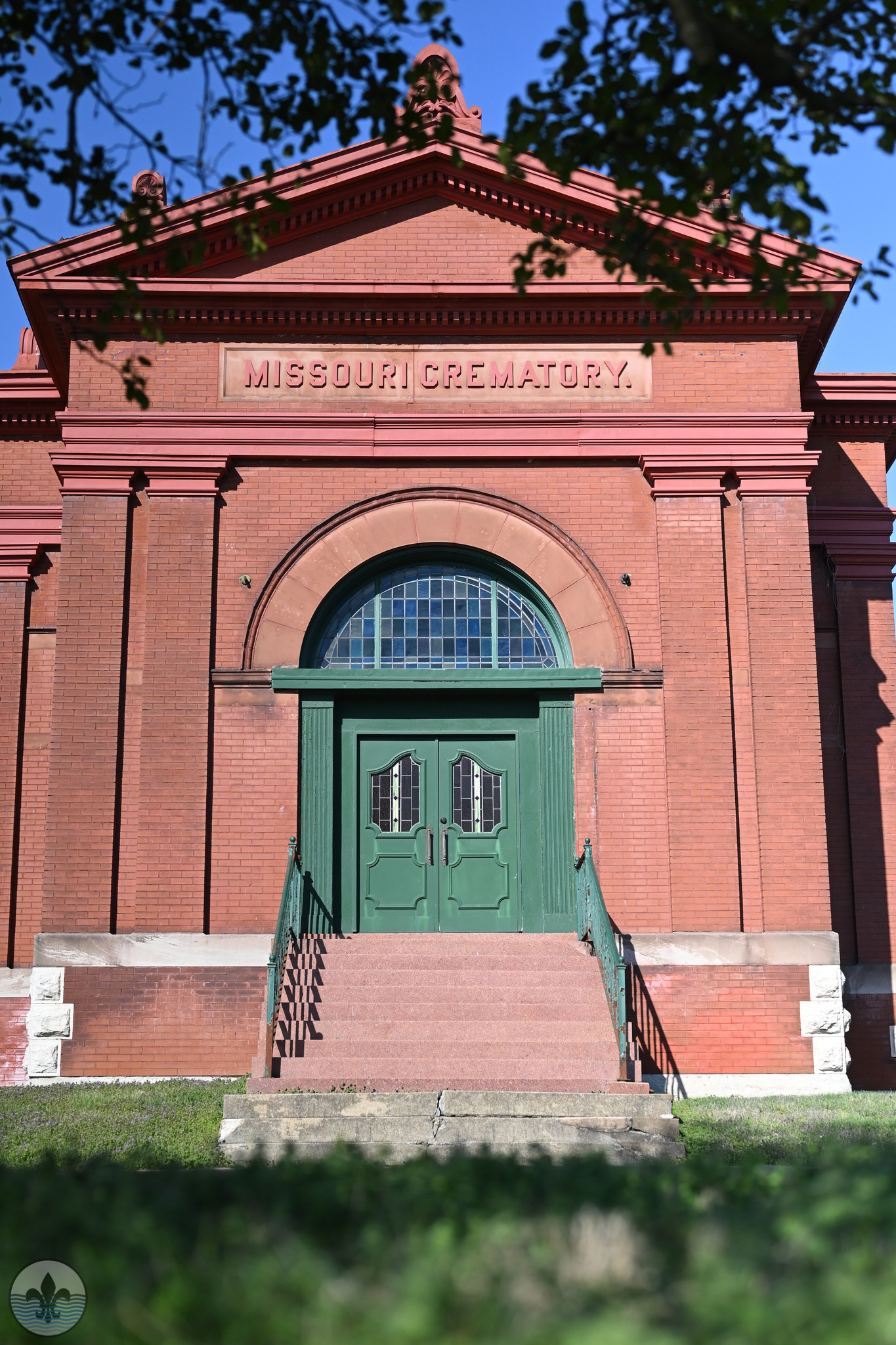
Photo by Joe Sardo
Photo by Jane DiCampo
Photo by Mike Matney
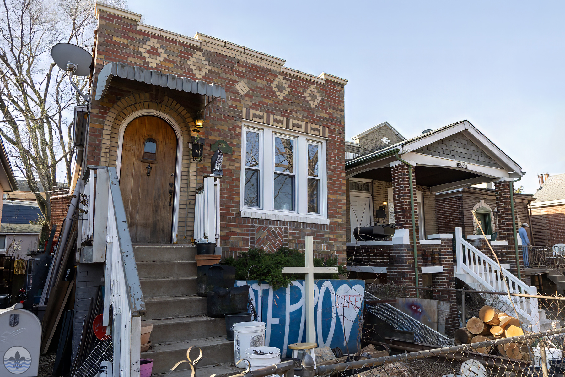
Photo by Caren Libby
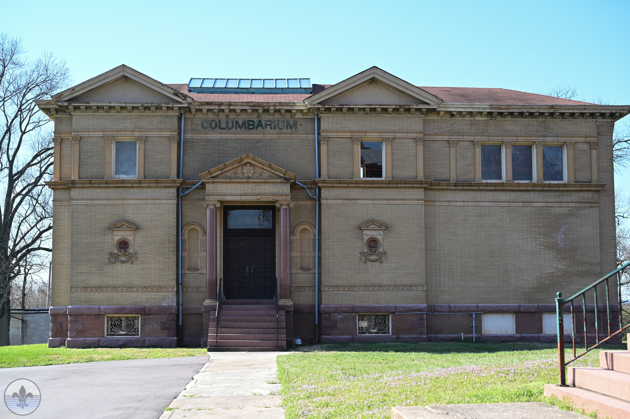
Photo by Joe Sardo
Within the seventy blocks that comprise the Southwest Garden neighborhood, you will find a wide variety of architecture turn-of-the-century frame and brick homes and storybook bungalows. There are blocks of two and four-family apartments, while others are primarily single-family homes. It is also home to the St. Louis Psychiatric Rehabilitation Center, and World’s Fair Donuts. It is also home to Cunnetto’s House of Pasta.
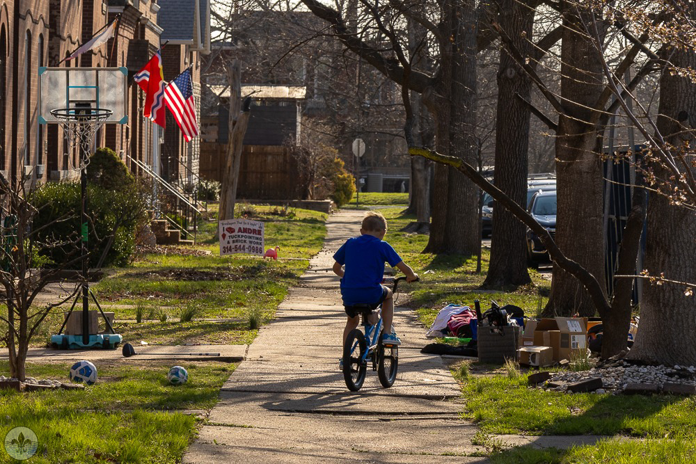
Photo by Jane DiCampo
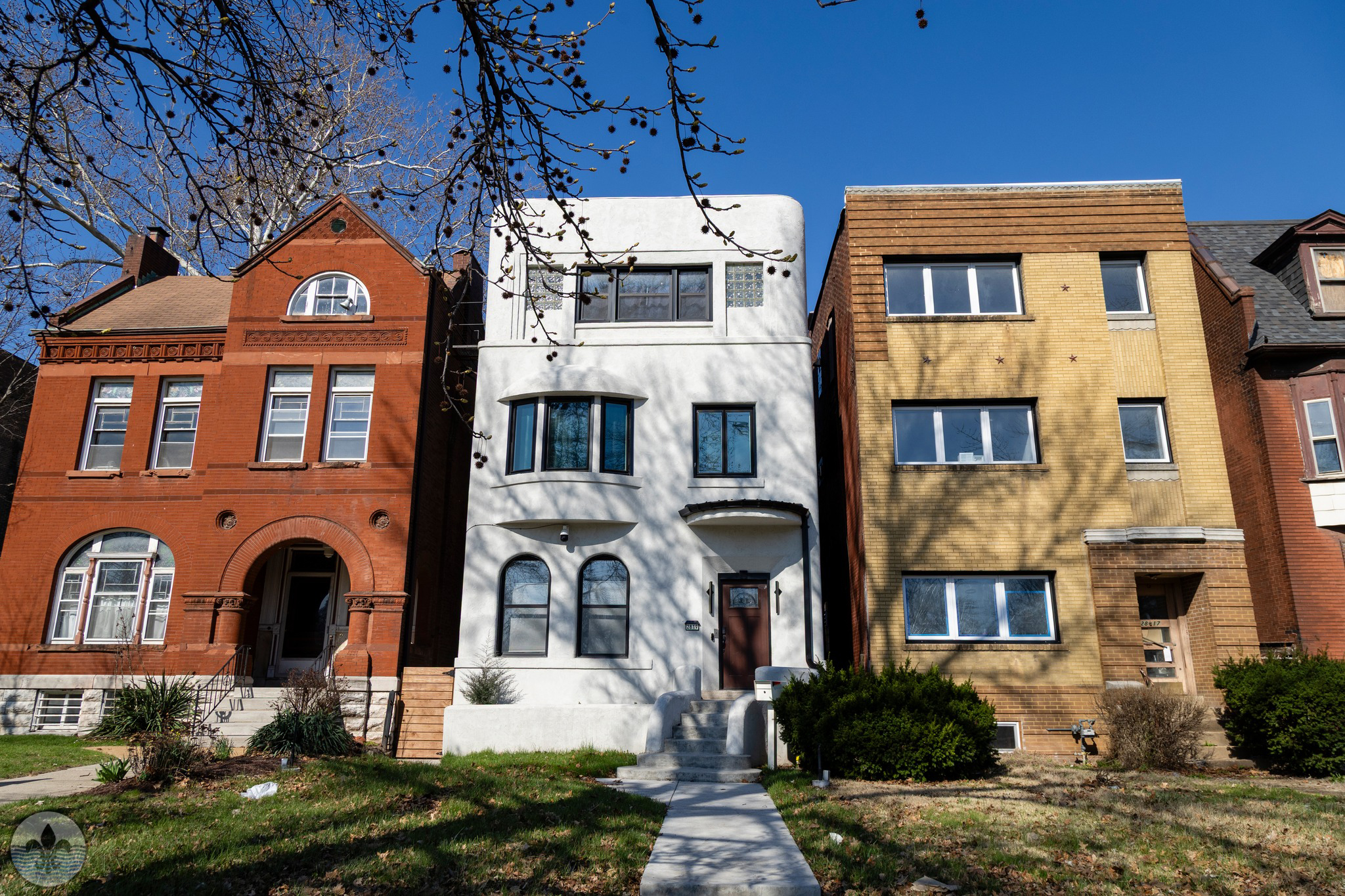
Photo by Mike Matney
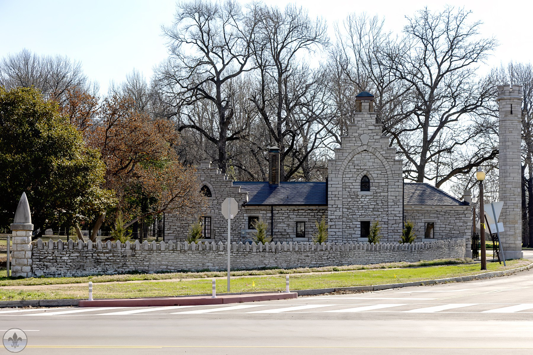
Photo by Caren Libby
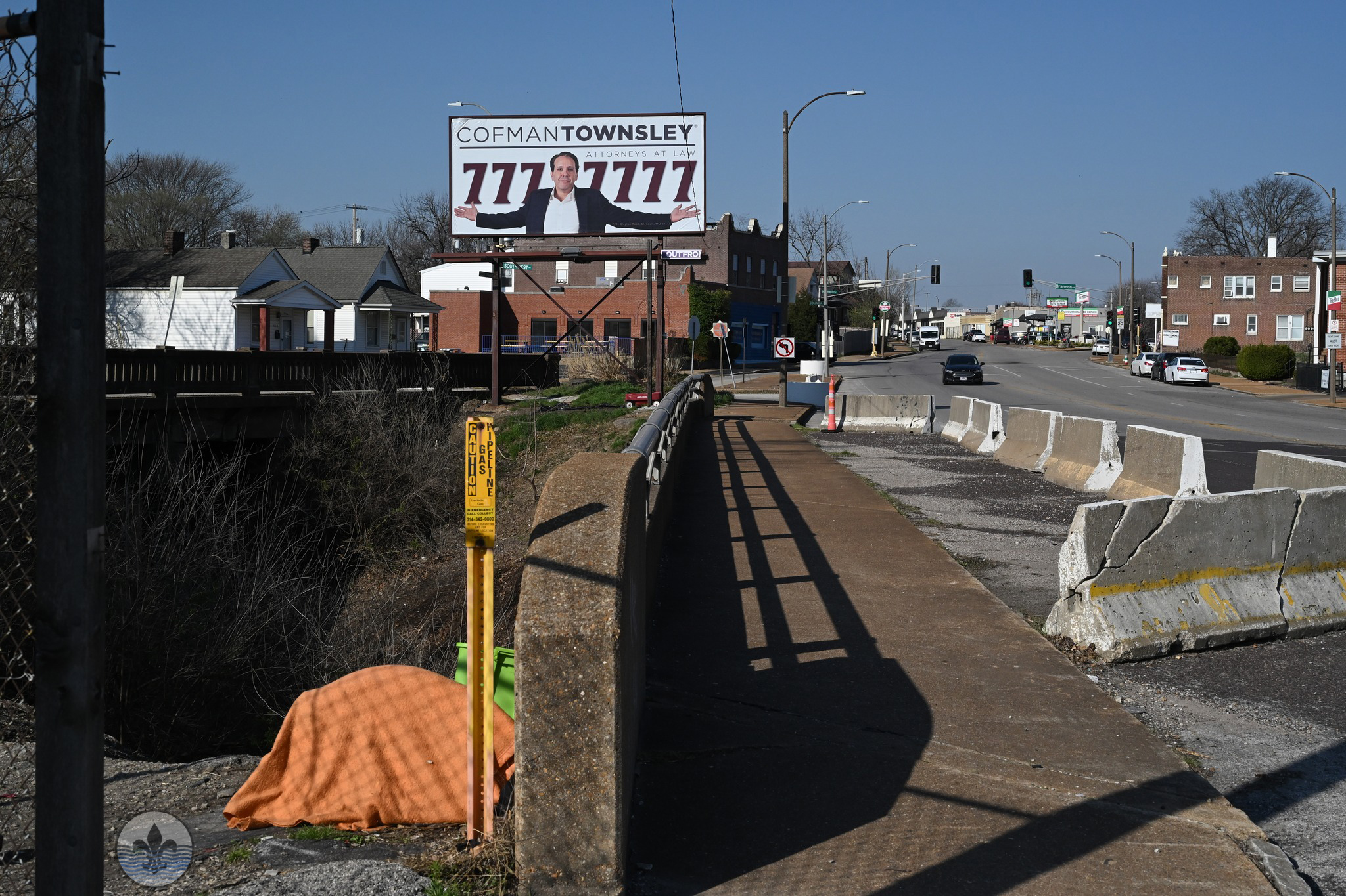
Photo by Joe Sardo
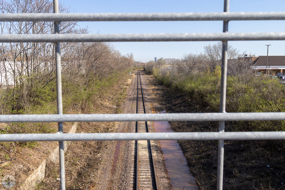
Photo by Jane DiCampo
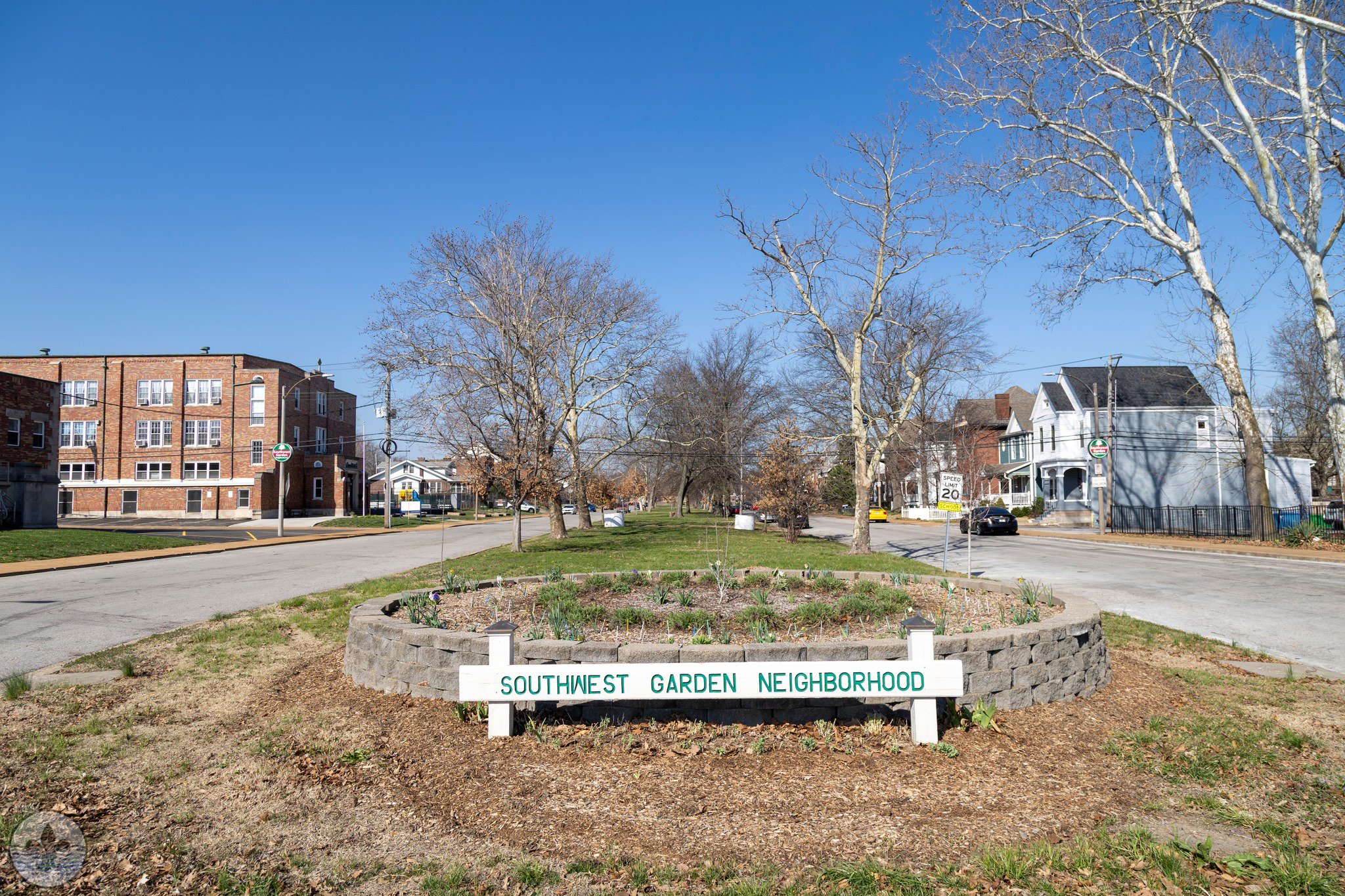
Photo by Mike Matney
Photo by Caren Libby
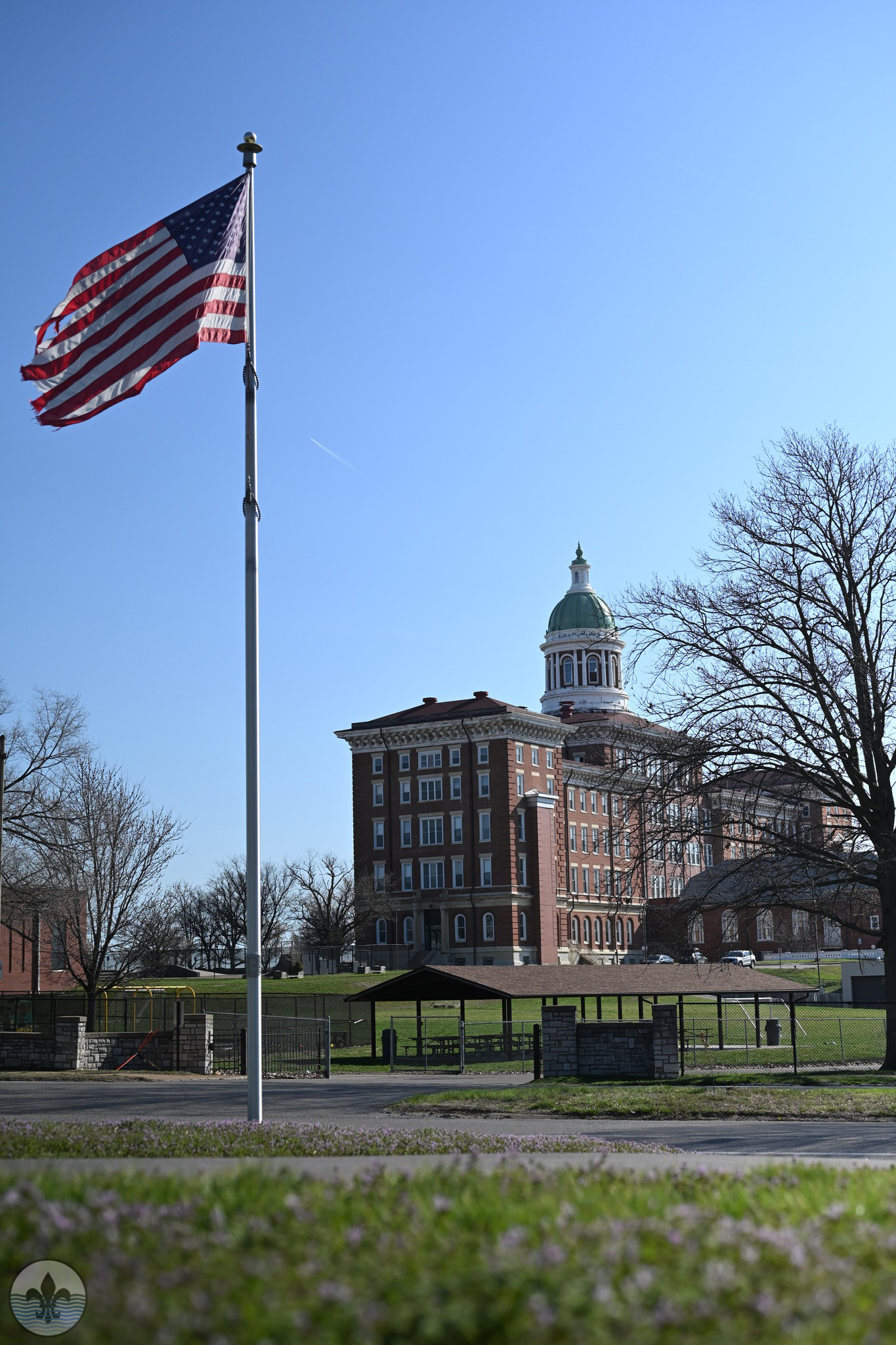
Photo by Joe Sardo